


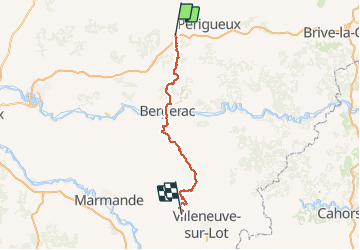

11,4 km | 14,3 km-effort


Utilisateur


Application GPS de randonnée GRATUITE
 SityTrail
IGN / Instituts géographiques
SityTrail World
Le monde est à vous
Randonnée Marche de 122 km à découvrir à Nouvelle-Aquitaine, Dordogne, Saint-Astier. Cette randonnée est proposée par kmedone.
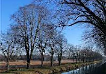
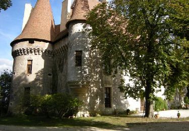
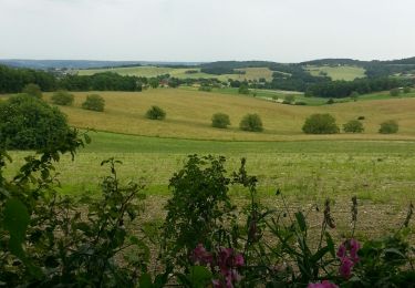
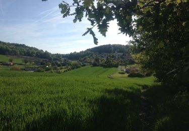
GR654 De St Astier (Dordogne) à Pinel-Hauterive (L-et-G)
Marche
A pied

Marche
A pied
Marche

Marche
Marche
Marche
Marche
bouclé bd