Randonnée Marche nordique Saint-Laurent-en-Royans - Tour de la combe Laval - Photo
 woody85
woody85

Utilisateur

© OpenStreetMap contributors
Longueur
Longueur
25 km
Altitude max
Altitude max
1165 m
Dénivelé positif
Dénivelé positif
1115 m
Km-Effort
Km-Effort  
40 km
Altitude min
Altitude min
259 m
Dénivelé négatif
Dénivelé négatif
1166 m
Boucle
Boucle
Non
Date de création :
2014-12-10 00:00:00.0
Dernière modification :
2014-12-10 00:00:00.0

(0 Avis)

Marche nordique
Marche nordique
4h55
Difficulté : Très difficile

Scannez ce code QR pour ouvrir la randonnée dans l'application SityTrail

Application GPS de randonnée GRATUITE

Logo SityTrail SityTrail

IGN / Instituts géographiques

Télécharger SityTrail sur l'App Store Télécharger SityTrail sur Google Play

Logo SityTrail SityTrail World

Le monde est à vous

Télécharger SityTrail sur l'App Store Télécharger SityTrail sur Google Play Télécharger SityTrail sur Huawei AppGallery

À propos

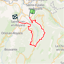
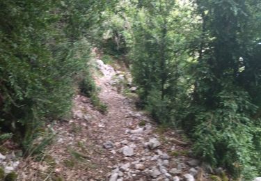
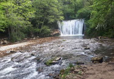
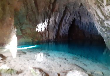
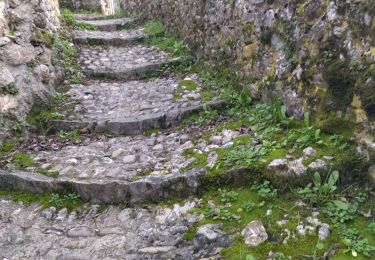
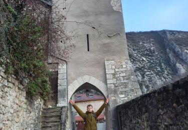
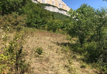
Randonnée Marche nordique de 25 km à découvrir à Auvergne-Rhône-Alpes, Drôme, Saint-Laurent-en-Royans. Cette randonnée est proposée par woody85.

Description

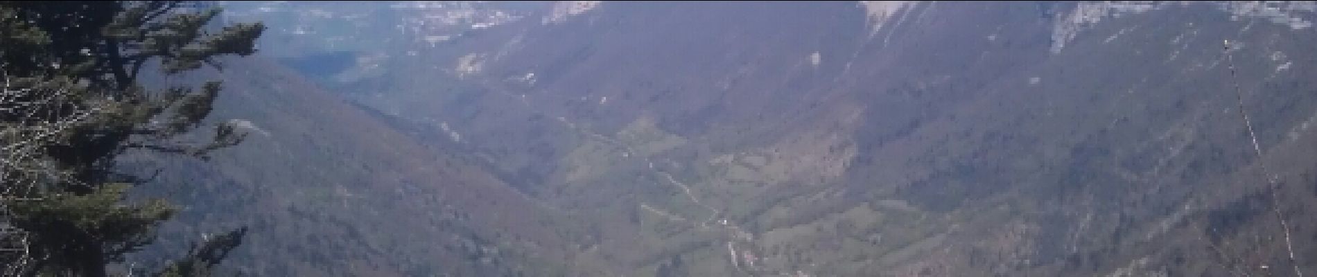
Col de la machine - col de l'Echarasson - Grottes du Frochet

Profil altimétrique

Photos

Points d'intérêt

Point d'intérêt Saint-Laurent-en-Royans - Point 2 - Photo
woody85
SAINT-LAURENT-EN-ROYANS 

Localisation

Pays :
France
Région :
Auvergne-Rhône-Alpes
Département/Province :
Drôme
Commune :
Saint-Laurent-en-Royans
Localité :
Unknown
Départ:(Dec)
Départ:(UTM)
682891 ; 4988681 (31T) N.

Randonnées à proximité

Randonnée Marche Châtelus - Boucle Pas de l'Allier - Pas des Voutes - Photo
Marche
tracegps

Marche

Moyen
(1)
Châtelus, Auvergne-Rhône-Alpes, Isère, France
10,1 km | 22 km-effort
4h 30min
Oui
Randonnée Marche Saint-Laurent-en-Royans - 26 rocher des mines ARP - Photo
Marche
himba26100

Marche

Très difficile
Saint-Laurent-en-Royans, Auvergne-Rhône-Alpes, Drôme, France
8,6 km | 16,2 km-effort
6h 53min
Oui
Randonnée Marche Sainte-Eulalie-en-Royans - 26 ste eulalie - Photo
Marche
himba26100

Marche

Moyen
Sainte-Eulalie-en-Royans, Auvergne-Rhône-Alpes, Drôme, France
14,8 km | 27 km-effort
6h 43min
Non
Randonnée Marche Châtelus - 38 pabro charmatte - Photo
Marche
himba26100

Marche

Difficile
Châtelus, Auvergne-Rhône-Alpes, Isère, France
11,4 km | 29 km-effort
7h 43min
Oui
Randonnée Marche nordique Saint-Laurent-en-Royans - Circuit entre Saint-Laurent-en-Royans et Pont-en-Royans - Photo
Marche nordique
Emelle

Marche nordique

Moyen
Saint-Laurent-en-Royans, Auvergne-Rhône-Alpes, Drôme, France
13 km | 17,4 km-effort
5h 9min
Oui
Randonnée Marche Pont-en-Royans - Grotte Balme Rousse - Photo
Marche
cousam

Marche

Difficile
Pont-en-Royans, Auvergne-Rhône-Alpes, Isère, France
15,7 km | 32 km-effort
6h 43min
Oui
Randonnée Marche Pont-en-Royans - 38 pont en Royans choranche presles - Photo
Marche
himba26100

Marche

Difficile
Pont-en-Royans, Auvergne-Rhône-Alpes, Isère, France
15,4 km | 30 km-effort
6h 52min
Oui
Randonnée Marche Choranche - Les 3 châteaux 2023 - Photo
Marche
crocau

Marche

Moyen
Choranche, Auvergne-Rhône-Alpes, Isère, France
3,3 km | 6,3 km-effort
1h 24min
Non
Randonnée Marche Saint-Laurent-en-Royans - Tour de Combe Laval  - Photo
Marche
alinetpierre

Marche

Difficile
Saint-Laurent-en-Royans, Auvergne-Rhône-Alpes, Drôme, France
24 km | 40 km-effort
6h 48min
Oui


Fermer
Mes abonnements