


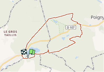

12,5 km | 14,6 km-effort


Utilisateur


Application GPS de randonnée GRATUITE
 SityTrail
IGN / Instituts géographiques
SityTrail World
Le monde est à vous
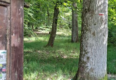
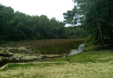
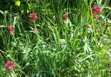
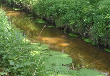
Randonnée Marche de 8,4 km à découvrir à Île-de-France, Yvelines, Raizeux. Cette randonnée est proposée par nono1910.
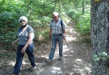
Marche
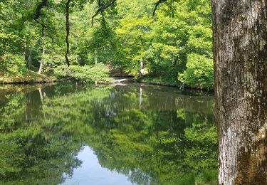
Marche

Marche
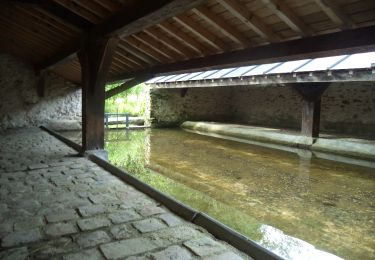
Marche
Marche
Marche
Marche
Marche
Marche