


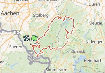


14,8 km | 17 km-effort


Utilisateur


Application GPS de randonnée GRATUITE
 SityTrail
IGN / Instituts géographiques
SityTrail World
Le monde est à vous
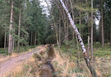
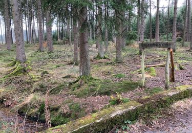
Randonnée V.T.T. de 69 km à découvrir à Rhénanie-du-Nord-Westphalie, Région urbaine d'Aix-la-Chapelle, Aix-la-Chapelle. Cette randonnée est proposée par gpstracks.
More information on GPStracks.nl : http://www.gpstracks.nl
Marche

Marche
Marche
A pied
A pied
A pied

A pied
A pied