Randonnée Marche Ciron - CIRON - Photo
 CAMBON
CAMBON

Utilisateur

© OpenStreetMap contributors
Longueur
Longueur
9,9 km
Altitude max
Altitude max
116 m
Dénivelé positif
Dénivelé positif
66 m
Km-Effort
Km-Effort  
10,8 km
Altitude min
Altitude min
92 m
Dénivelé négatif
Dénivelé négatif
64 m
Boucle
Boucle
Oui
Date de création :
2014-12-10 00:00:00.0
Dernière modification :
2014-12-10 00:00:00.0

(0 Avis)

Marche
Marche
2h24
Difficulté : Facile

Scannez ce code QR pour ouvrir la randonnée dans l'application SityTrail

Application GPS de randonnée GRATUITE

Logo SityTrail SityTrail

IGN / Instituts géographiques

Télécharger SityTrail sur l'App Store Télécharger SityTrail sur Google Play

Logo SityTrail SityTrail World

Le monde est à vous

Télécharger SityTrail sur l'App Store Télécharger SityTrail sur Google Play Télécharger SityTrail sur Huawei AppGallery

À propos

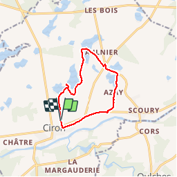
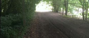
Randonnée Marche de 9,9 km à découvrir à Centre-Val de Loire, Indre, Ciron. Cette randonnée est proposée par CAMBON.

Description

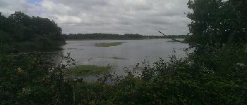
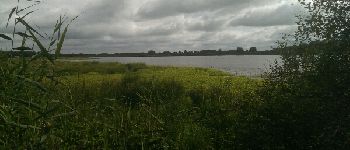
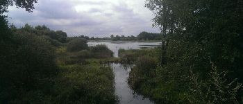
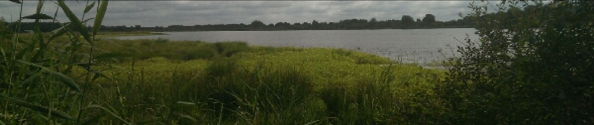
Randonnée aux bord des étang, observation des oiseaux.
Le travail de l'homme sur le modelage de son environement

Profil altimétrique

Photos

Points d'intérêt

Point d'intérêt Ciron - Point 1 - Photo
CAMBON
CIRON 
Point d'intérêt Ciron - Point 2 - Photo
CAMBON
CIRON 
Point d'intérêt Ciron - TOURNER A DROITE - Photo
CAMBON
Point d'intérêt Ciron - Point 4 - Photo
CAMBON
CIRON 
Point d'intérêt Ciron - VOIE VERTE - Photo
CAMBON
CIRON 

Localisation

Pays :
France
Région :
Centre-Val de Loire
Département/Province :
Indre
Commune :
Ciron
Localité :
Unknown
Départ:(Dec)
Départ:(UTM)
366020 ; 5165836 (31T) N.

Randonnées à proximité

Randonnée Marche Ciron - Ciron - Photo
Marche
mclafarie

Marche

Très facile
Ciron, Centre-Val de Loire, Indre, France
6,5 km | 7 km-effort
1h 34min
Oui


Fermer
Mes abonnements