


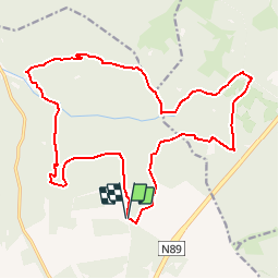

13,9 km | 17,6 km-effort
Randonnées de la Grande Forêt de Saint-Hubert GUIDE+


Application GPS de randonnée GRATUITE
 SityTrail
IGN / Instituts géographiques
SityTrail World
Le monde est à vous
Randonnée Marche de 19,5 km à découvrir à Wallonie, Luxembourg, Saint-Hubert. Cette randonnée est proposée par La Grande Forêt de Saint-Hubert.
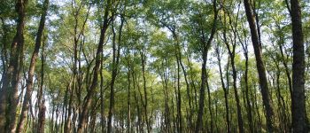
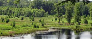
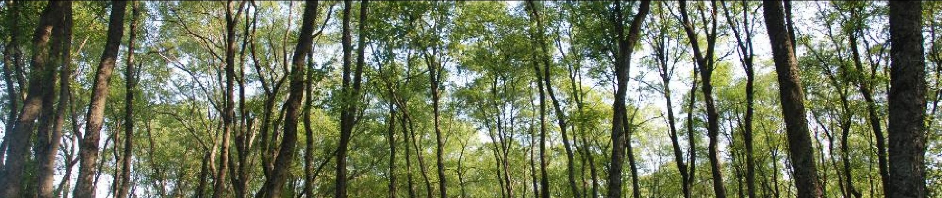
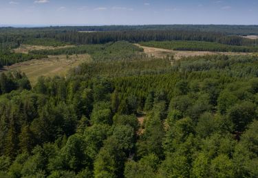
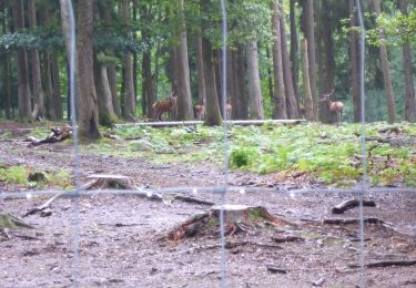
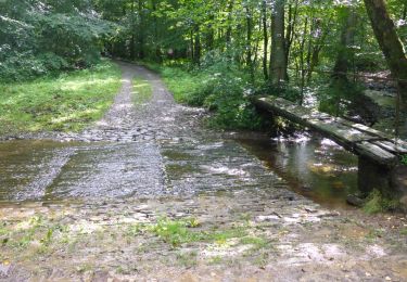
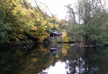
Cette grande balade en forêt vous emmènera jusqu'à la réserve naturelle de la Fagne du Rouge Poncé et son sentier en caillebotis, ainsi qu'à l'observatoire de Bilaude. Le circuit représente un bon aperçu des paysages boisés typiques de l’Ardenne et permet d’apercevoir le site du Pont Mauricy.
xtrait de la carte de promenade « Au Pays de Saint-Hubert » (30 balades pédestres, 6 circuits VTT – carte topographique 1/25.000) disponible au Royal Syndicat d’Initiative de Saint-Hubert au prix de 8€.
Royal Syndicat d’Initiative de Saint-Hubert
Place du Marché, n°15
B-6870 SAINT-HUBERT
Tél.: 32 (0)61 61 30 10
Fax: 32 (0)61 61 54 44
rsi@saint-hubert-tourisme.be
www.rsi-sainthubert.be
facebook.com/rsisainthubert
 - Photo 1")
 - Photo 2")

Marche

Marche

Marche

Marche
Marche
Marche
Marche
Marche
Marche
Les 2 points d'intérêt sont très beaux et valent vraiment la peine (observatoire et la réserve du rouge poncé) mais la balade a lieu principalement sur des chemins asphaltés ou en cailloux, ce qui n'est pas très agréable à pied. Il est possible d'aller voir les 2 points d'intérêt sans faire toute la boucle.
Vooral lange tocht met gevarieerd parcours waar slechts een gedeelte via leuk, sterk klimmend bospad. Meeste paden zijn keien of asfalt. Opletten bij de laatste lange geasfalteerde helling. Blijkbaar geliefde snelle afdaling van mountainbikers.
Belle nature et beaux paysages MAIS pour le choix du parcours c'est lamentable 95% d'asphalte et de chemins empierrés. Idéal pour vtt ou pick-up mais pas pour les randonnées pédestres c'est à déconseiller à part pour ceux qui apprécient de marcher 19 Km sur des cailloux et 1 km sur un seul chemin digne de ce nom
Personnellement, je trouve que difficulté très difficile, c'est un peu trop. Je la descendrai à difficile. Sinon très belle randonnée.