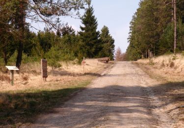
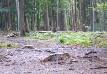
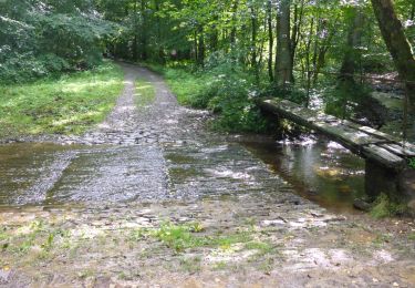
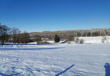
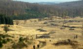
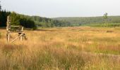
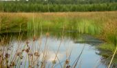
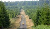
Randonnée Marche Saint-Hubert - Saint-Hubert - La Borne (SH07) - Photo

Saint-Hubert - La Borne (SH07)

Randonnées de la Grande Forêt de Saint-Hubert GUIDE+

© OpenStreetMap contributors
Longueur
Longueur
13,9 km
Altitude max
Altitude max
591 m
Dénivelé positif
Dénivelé positif
282 m
Km-Effort
Km-Effort  
17,6 km
Altitude min
Altitude min
435 m
Dénivelé négatif
Dénivelé négatif
284 m
Boucle
Boucle
Oui
Balise
Balise
Date de création :
2017-10-31 00:00:00.0
Dernière modification :
2024-03-12 09:38:32.883

(8 Avis)

Marche
Marche
3h47
Difficulté : Difficile

Scannez ce code QR pour ouvrir la randonnée dans l'application SityTrail

Application GPS de randonnée GRATUITE

Logo SityTrail SityTrail

IGN / Instituts géographiques

Télécharger SityTrail sur l'App Store Télécharger SityTrail sur Google Play

Logo SityTrail SityTrail World

Le monde est à vous

Télécharger SityTrail sur l'App Store Télécharger SityTrail sur Google Play Télécharger SityTrail sur Huawei AppGallery

À propos

Randonnée Marche de 13,9 km à découvrir à Wallonie, Luxembourg, Saint-Hubert. Cette randonnée est proposée par La Grande Forêt de Saint-Hubert.

Description

Extrait de la carte de promenade « Au Pays de Saint-Hubert » (30 balades pédestres, 6 circuits VTT – carte topographique 1/25.000) disponible au Royal Syndicat d’Initiative de Saint-Hubert au prix de 8€.

Royal Syndicat d’Initiative de Saint-Hubert
Place du Marché, n°15
B-6870 SAINT-HUBERT
Tél.:  32 (0)61 61 30 10
Fax:  32 (0)61 61 54 44
rsi@saint-hubert-tourisme.be
www.rsi-sainthubert.be
facebook.com/rsisainthubert

Profil altimétrique

Photos

Points d'intérêt

Point d'intérêt Saint-Hubert - Hall sportif - Photo
La Grande Forêt de Saint-Hubert
SAINT-HUBERT 
Point d'intérêt Saint-Hubert - Parc Dussart - Photo
La Grande Forêt de Saint-Hubert
SAINT-HUBERT 
Point d'intérêt Saint-Hubert - Etang de la Potasserie - Photo
La Grande Forêt de Saint-Hubert
Point d'intérêt Saint-Hubert - Zicht op de basiliek - Photo
La Grande Forêt de Saint-Hubert
SAINT-HUBERT 
Point d'intérêt Saint-Hubert - La Borne - Photo
La Grande Forêt de Saint-Hubert
SAINT-HUBERT 
Point d'intérêt Saint-Hubert - Aérodrome de Saint-Hubert - Photo
La Grande Forêt de Saint-Hubert
Point d'intérêt Saint-Hubert - Aérodrome militaire - Photo
La Grande Forêt de Saint-Hubert
SAINT-HUBERT 
Point d'intérêt Saint-Hubert - Monastère d'Hurtebise - Photo
La Grande Forêt de Saint-Hubert
Point d'intérêt Saint-Hubert - Ski de fond - Photo
La Grande Forêt de Saint-Hubert
SAINT-HUBERT 
Point d'intérêt Saint-Hubert - Vue sur la ville de Saint-Hubert - Photo
La Grande Forêt de Saint-Hubert
Point d'intérêt Saint-Hubert - Site LIFE de la Borne - Photo
La Grande Forêt de Saint-Hubert
SAINT-HUBERT 
Point d'intérêt Saint-Hubert - Départ La Borne - Photo
La Grande Forêt de Saint-Hubert
SAINT-HUBERT 

Localisation

Pays :
Belgique
Région :
Wallonie
Département/Province :
Luxembourg
Commune :
Saint-Hubert
Localité :
Unknown
Départ:(Dec)
Départ:(UTM)
670575 ; 5544567 (31U) N.

Commentaires

Veuillez vous connecter pour laisser un commentaire ou une note


globalement c'est une belle balade. Mais le depart et le retour via le zoning industriel et en longeant les grandes routes est assez deprimant. a ameliorer via un autre chemin.


Trop souvent sur la route ou sentier asphalté, et fort fréquenté...


dommage de venir dans cette belle région pour faire 90 % de tarmac


Très belle randonnée sur les hauteurs, de beaux panoramas à voir


top


ce parcours est magnifique, notamment la partie dans la forêt de Saint Hubert ou celle près du monastère d'hurtebise, dans lequel il faut s'arrêter. mais les passages près des bretelles d'autoroutes sont assez dangereux et peu agréables, de même que la route asphaltee vers l'aéroport, car les voitures y roulent fort vite.


super handig


Randonnées à proximité

Randonnée Marche Saint-Hubert - Hatrival - Banalbois (SH13) - Photo
Marche
GUIDE+

Marche

Moyen
(6)
Saint-Hubert, Wallonie, Luxembourg, Belgique
7,5 km | 9,5 km-effort
2h 2min
Oui
Randonnée Marche Saint-Hubert - RB-Lu-26_Saint-Hubert_via-racc-1-et-2 - Photo
Marche
PRO

Marche

Très facile
(6)
Saint-Hubert, Wallonie, Luxembourg, Belgique
14,6 km | 19,5 km-effort
4h 15min
Oui
Randonnée Marche Saint-Hubert - Vesqueville - Vesqueville (SH09) - Photo
Marche
GUIDE+

Marche

Difficile
(6)
Saint-Hubert, Wallonie, Luxembourg, Belgique
15,6 km | 19,4 km-effort
4h 9min
Oui
Randonnée Marche Saint-Hubert - Saint-Hubert - Les Abanages (SH03) - Photo
Marche
GUIDE+

Marche

Difficile
(11)
Saint-Hubert, Wallonie, Luxembourg, Belgique
9,8 km | 13,1 km-effort
2h 49min
Oui
Randonnée Marche Saint-Hubert - Saint-Hubert - Les Gottes (SH02) - Photo
Marche
GUIDE+

Marche

Moyen
(14)
Saint-Hubert, Wallonie, Luxembourg, Belgique
6,9 km | 8,6 km-effort
1h 52min
Oui
Randonnée Marche Saint-Hubert - RB-Lu-26_Saint-Hubert - Photo
Marche
PRO

Marche

Très facile
(4)
Saint-Hubert, Wallonie, Luxembourg, Belgique
25 km | 33 km-effort
7h 2min
Oui
Randonnée Marche Saint-Hubert - RB-Lu-26_Saint-Hubert_via-racc-2 - Photo
Marche
PRO

Marche

Très facile
(2)
Saint-Hubert, Wallonie, Luxembourg, Belgique
23 km | 30 km-effort
6h 19min
Oui
Randonnée Marche Saint-Hubert - Saint-Hubert - Circuit Natura 2000, des sites qui valent le détour - Lx16 - Photo
Marche
GUIDE+

Marche

Moyen
(3)
Saint-Hubert, Wallonie, Luxembourg, Belgique
9,8 km | 13 km-effort
1h 11min
Oui
Randonnée Marche Saint-Hubert - VESQUEVILLE ... les bois de Sârwé. - Photo
Marche
GerardBouche

Marche

Facile
(1)
Saint-Hubert, Wallonie, Luxembourg, Belgique
10 km | 12,3 km-effort
2h 27min
Oui


Fermer
Mes abonnements