


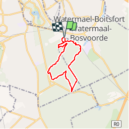


23 km | 28 km-effort

Utilisateur GUIDE


Application GPS de randonnée GRATUITE
 SityTrail
IGN / Instituts géographiques
SityTrail World
Le monde est à vous
Randonnée Marche de 9,1 km à découvrir à Bruxelles-Capitale, Inconnu, Uccle. Cette randonnée est proposée par Desrumaux.
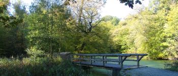
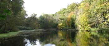
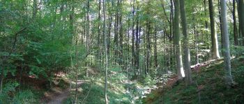
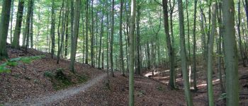
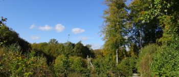
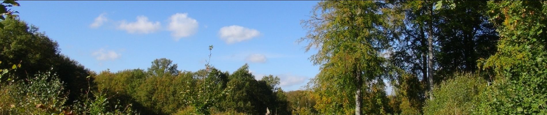
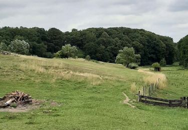
Cette jolie balade forestière prend son départ à la Drève du Tumuli à Watermael-Boitsfort et vous emmène sur les pittoresques sentiers des vallons des enfants noyés et du Vuylbeek.


Marche

Marche

Marche

Marche

V.T.T.

Marche

Marche

Marche
Marche
Belle balade, merci !