


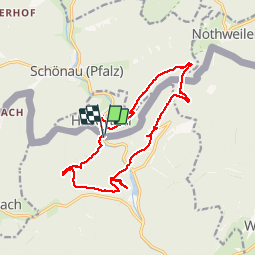

18,4 km | 26 km-effort

Utilisateur


Application GPS de randonnée GRATUITE
 SityTrail
IGN / Instituts géographiques
SityTrail World
Le monde est à vous
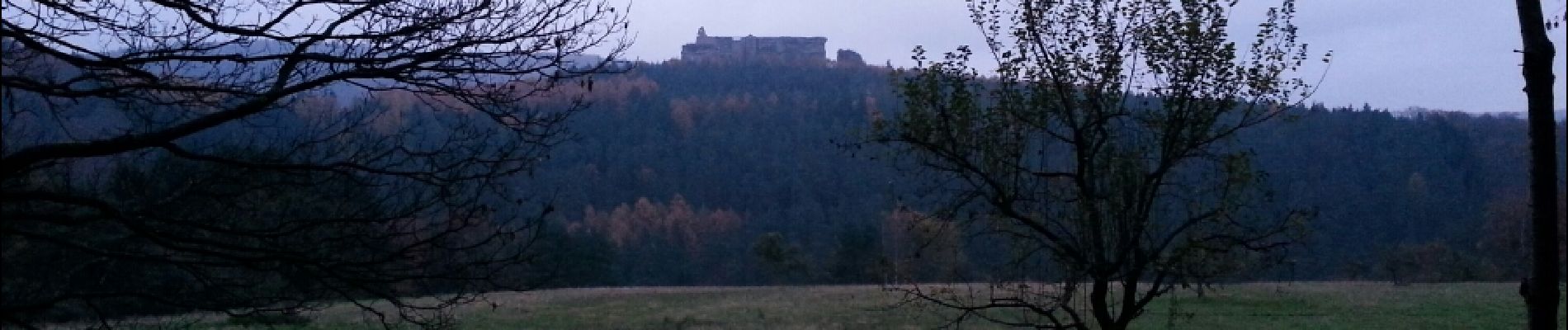
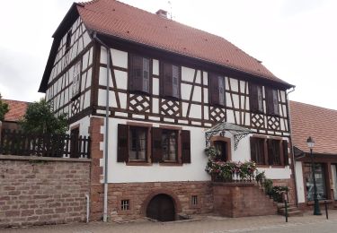
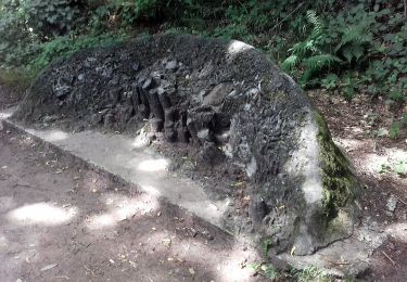
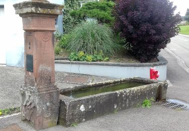
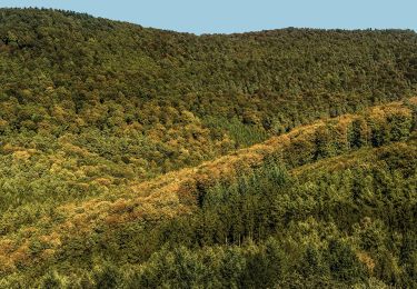
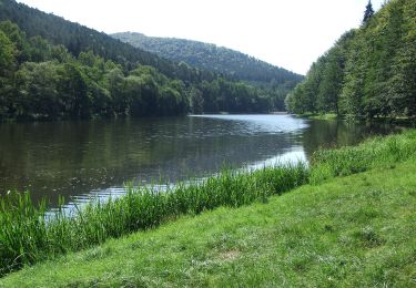
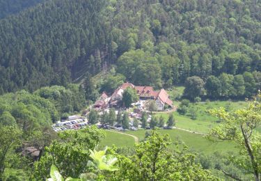
Randonnée Marche de 15,6 km à découvrir à Grand Est, Bas-Rhin, Lembach. Cette randonnée est proposée par mitch1915.
belle escapade à la découverte des châteaux du 12e siècle, le long de la frontière.


Randonnée équestre

A pied
A pied
Merci !