


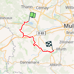

27 km | 40 km-effort

Promouvoir le Tourisme Equestre en Alsace GUIDE+


Application GPS de randonnée GRATUITE
 SityTrail
IGN / Instituts géographiques
SityTrail World
Le monde est à vous
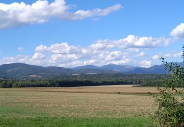
Randonnée Randonnée équestre de 28 km à découvrir à Grand Est, Haut-Rhin, Aspach-Michelbach. Cette randonnée est proposée par Tourisme Equestre Alsace.


Marche

A pied

Marche
Marche


Marche
Marche