


16 km | 18,8 km-effort

Utilisateur


Application GPS de randonnée GRATUITE
 SityTrail
IGN / Instituts géographiques
SityTrail World
Le monde est à vous
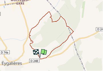
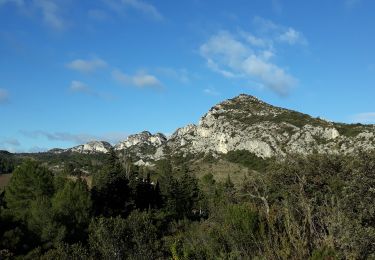
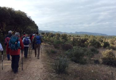
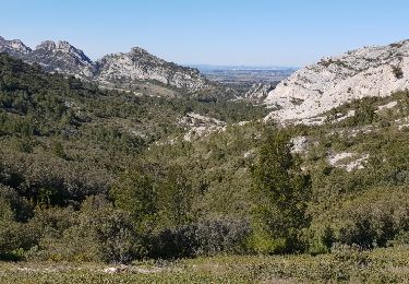
Randonnée Marche de 8,1 km à découvrir à Provence-Alpes-Côte d'Azur, Bouches-du-Rhône, Eygalières. Cette randonnée est proposée par MicDul.
Départ : parking chapelle St Sixte sur la D24b


Marche

Marche
Marche
Marche
Marche
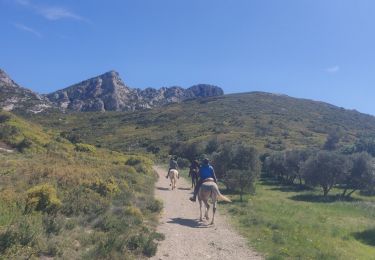
Randonnée équestre
Marche

Cheval
Marche