


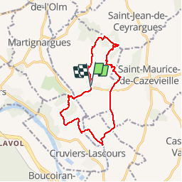

15,3 km | 19,4 km-effort

Utilisateur


Application GPS de randonnée GRATUITE
 SityTrail
IGN / Instituts géographiques
SityTrail World
Le monde est à vous
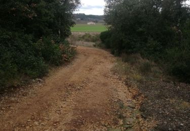
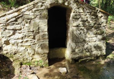
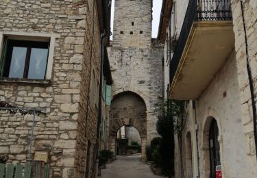
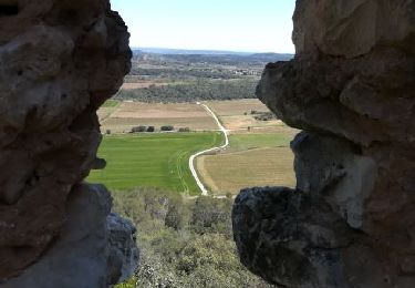
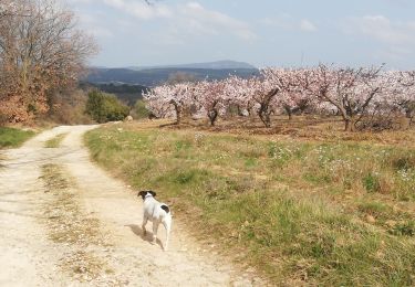
Randonnée Marche de 14,1 km à découvrir à Occitanie, Gard, Saint-Césaire-de-Gauzignan. Cette randonnée est proposée par poisson1103.
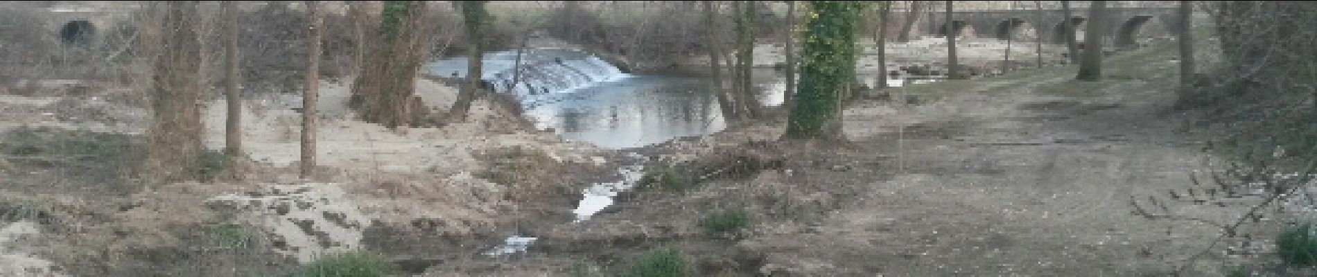
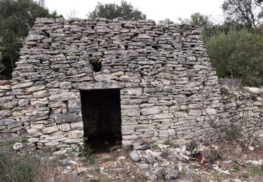
Beaux champs de vignes et de murs de clapas.


Marche
Marche
Marche
Marche
Marche
Marche

Marche
Marche