


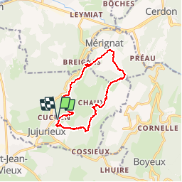


38 km | 51 km-effort

Utilisateur


Application GPS de randonnée GRATUITE
 SityTrail
IGN / Instituts géographiques
SityTrail World
Le monde est à vous
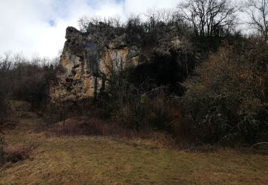
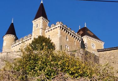
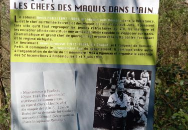
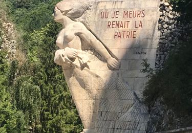
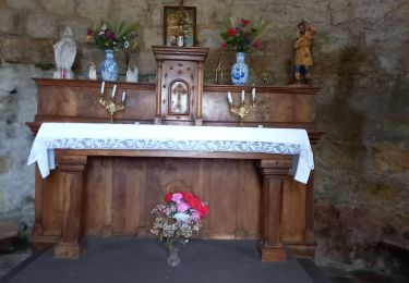
Randonnée Marche de 12,2 km à découvrir à Auvergne-Rhône-Alpes, Ain, Jujurieux. Cette randonnée est proposée par romain-donner.


V.T.T.
Marche
Marche
Marche
Marche
Marche

Vélo de route
Marche
Marche