


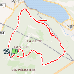


12,1 km | 24 km-effort

Utilisateur


Application GPS de randonnée GRATUITE
 SityTrail
IGN / Instituts géographiques
SityTrail World
Le monde est à vous
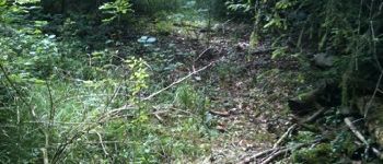
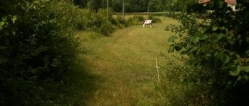
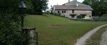
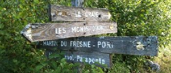
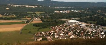
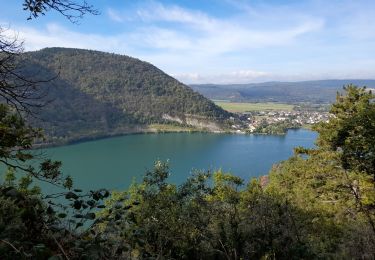
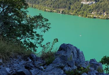
Randonnée Marche de 11,6 km à découvrir à Auvergne-Rhône-Alpes, Ain, Saint-Martin-du-Frêne. Cette randonnée est proposée par gael.simon.


Marche
Marche
Marche
A pied
A pied
A pied
Marche
Marche
Marche