


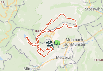

16,1 km | 25 km-effort


Utilisateur


Application GPS de randonnée GRATUITE
 SityTrail
IGN / Instituts géographiques
SityTrail World
Le monde est à vous
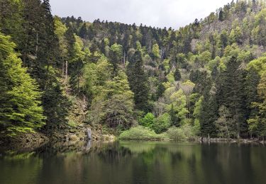
Randonnée Cheval de 22 km à découvrir à Grand Est, Haut-Rhin, Metzeral. Cette randonnée est proposée par sttrsv.eu.

Marche

Marche

Raquettes à neige

V.T.T.

Marche
Marche
Marche
Marche
Marche