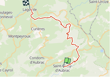
23 km | 30 km-effort
St chely d'aubrac - laguiole
prv
Utilisateur
Longueur
26 km
Altitude max
1347 m
Dénivelé positif
889 m
Km-Effort
37 km
Altitude min
816 m
Dénivelé négatif
695 m
Boucle
Non
Date de création :
2015-07-18 00:00:00.0
Dernière modification :
2015-07-18 00:00:00.0
7h48
Difficulté : Inconnu
Application GPS de randonnée GRATUITE
À propos
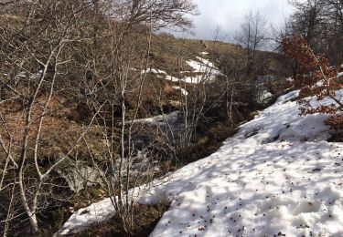
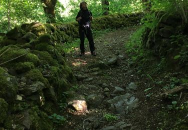
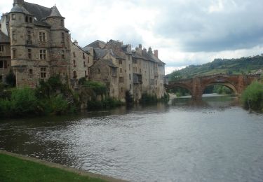
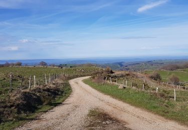
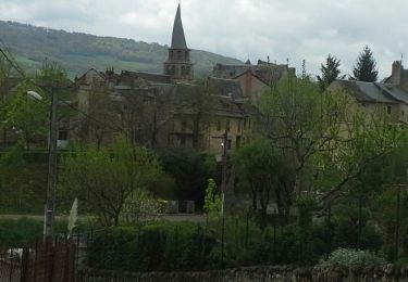
Randonnée Marche de 26 km à découvrir à Occitanie, Aveyron, Saint-Chély-d'Aubrac. Cette randonnée est proposée par prv.
Description
le tour des monts d'aubrac
Localisation
Pays :
France
Région :
Occitanie
Département/Province :
Aveyron
Commune :
Saint-Chély-d'Aubrac
Localité :
Unknown
Départ:(Dec)
Départ:(UTM)
493863 ; 4937543 (31T) N.
Commentaires
Randonnées à proximité
Aubrac - St Côme d'Olt - Chemin de St-Jacques de Compostelle
Marche
Très difficile
(1)
Saint-Chély-d'Aubrac,
Occitanie,
Aveyron,
France
5h 0min
Non
La voie romaine - Saint Chély d'Aubrac
Marche
Moyen
(2)
Saint-Chély-d'Aubrac,
Occitanie,
Aveyron,
France
19 km | 28 km-effort
5h 30min
Oui
Saint Chely Espalion Avril 2018
Marche
Difficile
Saint-Chély-d'Aubrac,
Occitanie,
Aveyron,
France
25 km | 34 km-effort
7h 26min
Non
S’y chely
Marche
Difficile
Saint-Chély-d'Aubrac,
Occitanie,
Aveyron,
France
22 km | 31 km-effort
6h 16min
Oui
St chely Aubrac
Marche
Difficile
Saint-Chély-d'Aubrac,
Occitanie,
Aveyron,
France
21 km | 30 km-effort
6h 34min
Oui
CC_Velay_BC_07_St-Chely-Aubrac_Espalion_20070822
Marche
Moyen
Saint-Chély-d'Aubrac,
Occitanie,
Aveyron,
France
23 km | 31 km-effort
7h 30min
Non
Aubrac st Come d'olt st Jacques
Marche
Difficile
Saint-Chély-d'Aubrac,
Occitanie,
Aveyron,
France
24 km | 31 km-effort
7h 0min
Non
Saint Chely d'Aubrac - Saint Côme d'Olt
Marche
Moyen
Saint-Chély-d'Aubrac,
Occitanie,
Aveyron,
France
18,1 km | 24 km-effort
5h 17min
Non
St CHELY les tremailles
Marche
Moyen
(2)
Saint-Chély-d'Aubrac,
Occitanie,
Aveyron,
France
8,4 km | 12,9 km-effort
3h 0min
Oui