


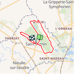


9,6 km | 10,1 km-effort

Randonnées de l'Office du Tourisme de l'Île d'Oléron etdu bassin de Marennes


Application GPS de randonnée GRATUITE
 SityTrail
IGN / Instituts géographiques
SityTrail World
Le monde est à vous
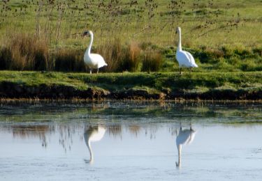
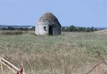
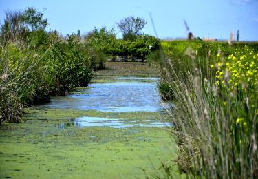
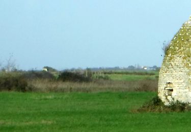
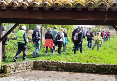
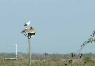
Randonnée Marche de 12,9 km à découvrir à Nouvelle-Aquitaine, Charente-Maritime, Saint-Sornin. Cette randonnée est proposée par Office du Tourisme de l'île d'Oléron et du bassin de Marennes.


Marche
A pied
Marche
Marche
Marche
A pied
Marche

Marche

V.T.C.