


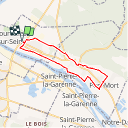

10,9 km | 13,1 km-effort


Utilisateur


Application GPS de randonnée GRATUITE
 SityTrail
IGN / Instituts géographiques
SityTrail World
Le monde est à vous
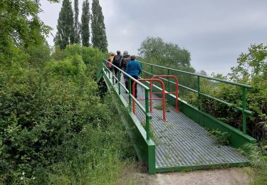
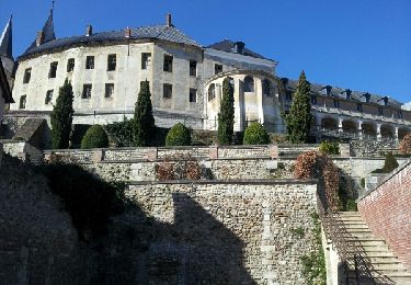
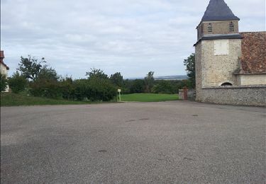
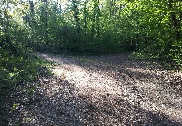
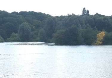
Randonnée Marche de 11,2 km à découvrir à Normandie, Eure, Courcelles-sur-Seine. Cette randonnée est proposée par douneto.
Marche
Marche
Marche
Marche

Marche
Autre activité
Marche

Marche

V.T.T.