


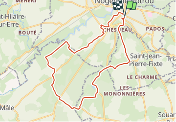

48 km | 56 km-effort


Utilisateur


Application GPS de randonnée GRATUITE
 SityTrail
IGN / Instituts géographiques
SityTrail World
Le monde est à vous
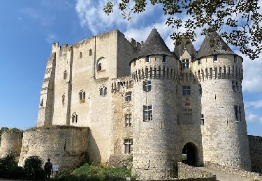
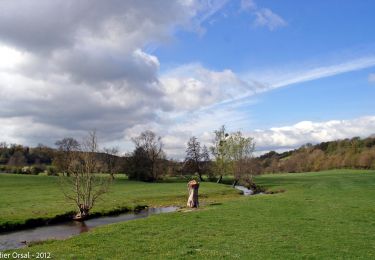
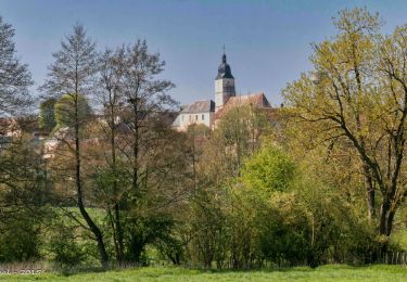
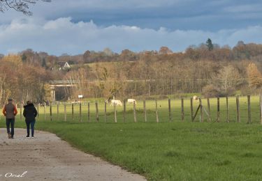
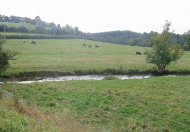
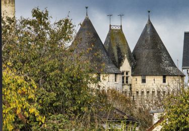
Randonnée Marche de 18,1 km à découvrir à Centre-Val de Loire, Eure-et-Loir, Nogent-le-Rotrou. Cette randonnée est proposée par togolo28.

Marche
Marche
Marche
Marche
Marche
Marche

Marche
Marche
Marche