


8 km | 9,2 km-effort

Utilisateur


Application GPS de randonnée GRATUITE
 SityTrail
IGN / Instituts géographiques
SityTrail World
Le monde est à vous
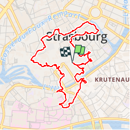
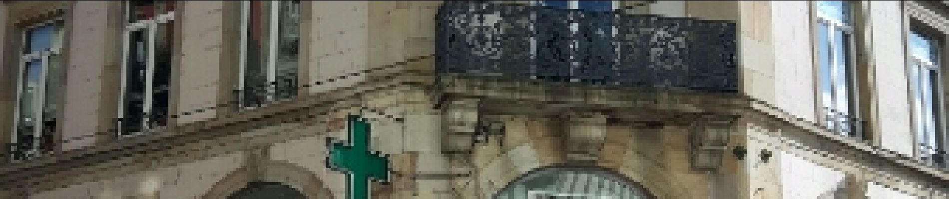
Randonnée Marche de 6 km à découvrir à Grand Est, Bas-Rhin, Strasbourg. Cette randonnée est proposée par phil88.
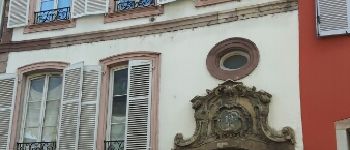
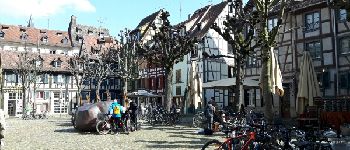
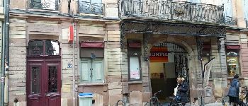
belle balade en ville au XVIII° SIÈCLE


45 photos au total. Cliquez sur une photo pour les afficher toutes dans la galerie.

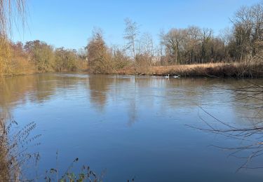
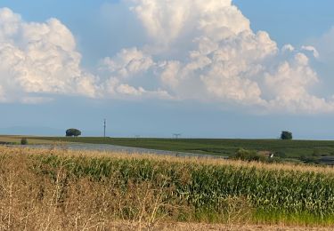
Marche
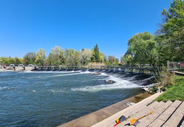
Marche

Marche

Marche

Vélo électrique

Vélo électrique
V.T.T.