


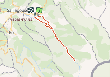

24 km | 43 km-effort

Utilisateur


Application GPS de randonnée GRATUITE
 SityTrail
IGN / Instituts géographiques
SityTrail World
Le monde est à vous
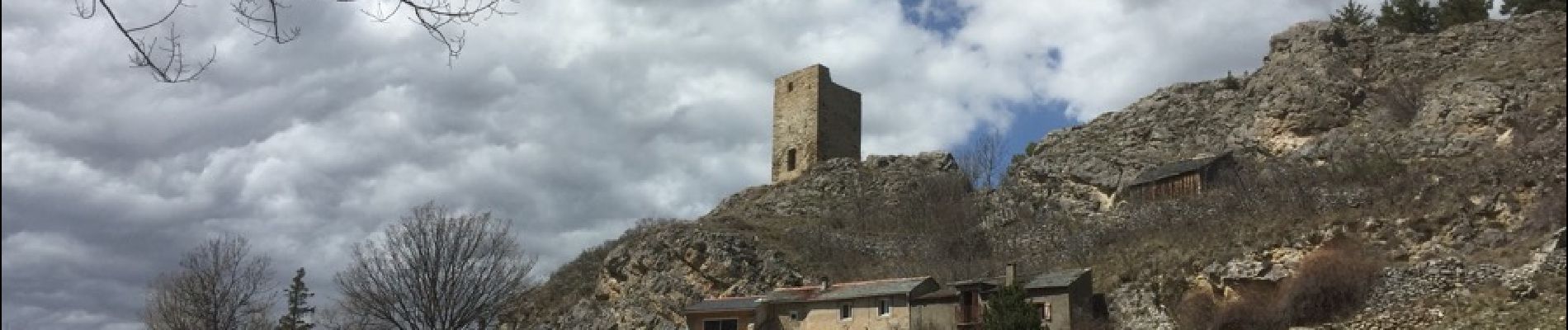
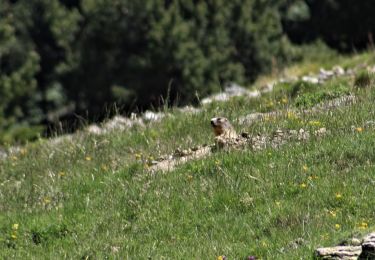
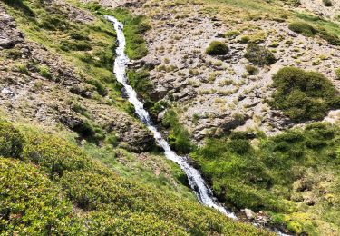
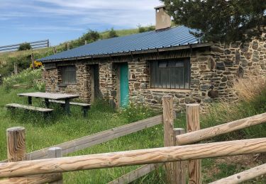
Randonnée Marche de 12,7 km à découvrir à Occitanie, Pyrénées-Orientales, Llo. Cette randonnée est proposée par crijack.


Marche

Marche

Marche

Marche
Marche
Marche
Marche
Marche

Trail