


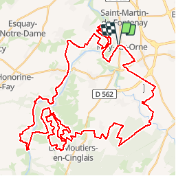


8,9 km | 10,4 km-effort


Utilisateur


Application GPS de randonnée GRATUITE
 SityTrail
IGN / Instituts géographiques
SityTrail World
Le monde est à vous
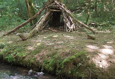
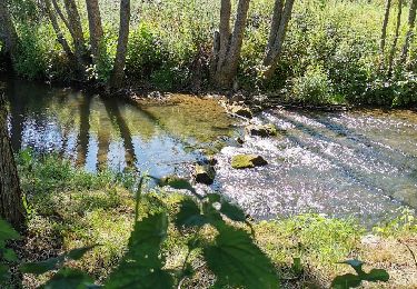
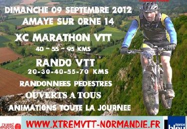
Randonnée V.T.T. de 65 km à découvrir à Normandie, Calvados, May-sur-Orne. Cette randonnée est proposée par albers.

V.T.T.

Marche
V.T.T.

Course à pied

sport
V.T.T.
V.T.T.
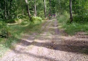
beau parcours assez roulant.