Randonnée Vélo Cahors - de Cahors à Villeneuve sur lot - Photo

de Cahors à Villeneuve sur lot

 destras
destras

Utilisateur

© OpenStreetMap contributors
Longueur
Longueur
111 km
Altitude max
Altitude max
323 m
Dénivelé positif
Dénivelé positif
1124 m
Km-Effort
Km-Effort  
126 km
Altitude min
Altitude min
51 m
Dénivelé négatif
Dénivelé négatif
1187 m
Boucle
Boucle
Non
Date de création :
2016-06-24 00:00:00.0
Dernière modification :
2016-06-24 00:00:00.0

(0 Avis)

Vélo
Vélo
5h30
Difficulté : Moyen

Scannez ce code QR pour ouvrir la randonnée dans l'application SityTrail

Application GPS de randonnée GRATUITE

Logo SityTrail SityTrail

IGN / Instituts géographiques

Télécharger SityTrail sur l'App Store Télécharger SityTrail sur Google Play

Logo SityTrail SityTrail World

Le monde est à vous

Télécharger SityTrail sur l'App Store Télécharger SityTrail sur Google Play Télécharger SityTrail sur Huawei AppGallery

À propos

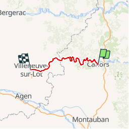
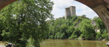
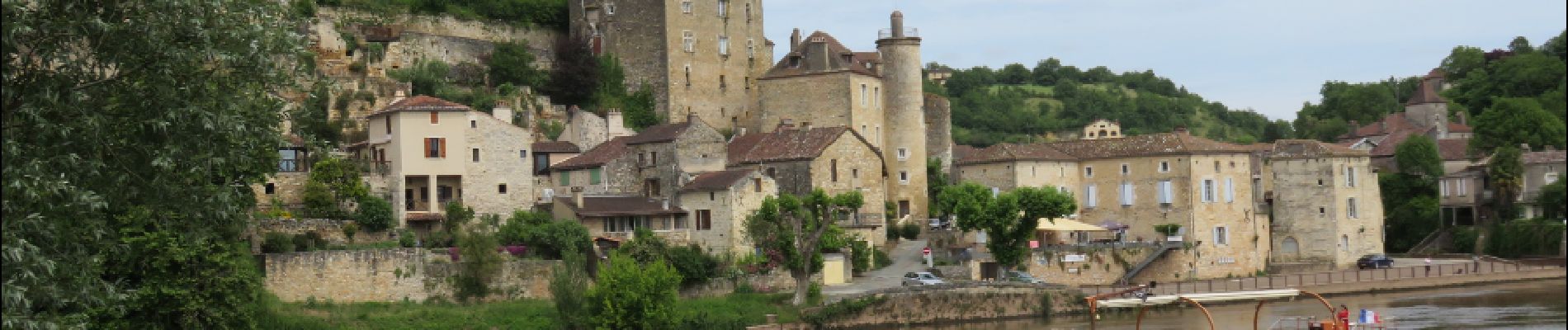
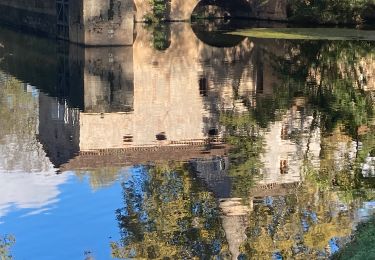
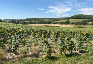
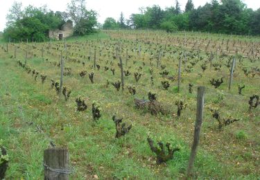
Randonnée Vélo de 111 km à découvrir à Occitanie, Lot, Cahors. Cette randonnée est proposée par destras.

Description

Tracé correspondant approximativement à la véloroute du Lot

Profil altimétrique

Photos

Points d'intérêt

Point d'intérêt Luzech - Tour de Luzech - Photo
destras
Point d'intérêt Puy-l'Évêque - Puy  - Photo
destras
PUY-L'ÉVÊQUE 

Localisation

Pays :
France
Région :
Occitanie
Département/Province :
Lot
Commune :
Cahors
Localité :
Unknown
Départ:(Dec)
Départ:(UTM)
375184 ; 4922482 (31T) N.

Randonnées à proximité

Randonnée V.T.T. Cahors - Cahors-La Rozière 2005 - Photo
V.T.T.
tracegps

V.T.T.

Très difficile
(1)
Cahors, Occitanie, Lot, France
62 km | 81 km-effort
5h 0min
Oui
Randonnée Marche Pradines - Cahors les Durands 7km - Photo
Marche
PariseJL

Marche

Facile
(1)
Pradines, Occitanie, Lot, France
7,1 km | 9,3 km-effort
2h 13min
Oui
Randonnée Marche nordique Pradines - 15km chemin des combettes - Photo
Marche nordique
Dominique Molinier

Marche nordique

Très facile
(1)
Pradines, Occitanie, Lot, France
14,8 km | 17,9 km-effort
2h 15min
Oui
Randonnée Marche Bellefont-La Rauze - Larroque des arcs constant valroufie  - Photo
Marche
GUIDE
antignacs

Marche

Très facile
Bellefont-La Rauze, Occitanie, Lot, France
11,6 km | 15 km-effort
2h 38min
Oui
Randonnée Marche Cahors - Croix magne  - Photo
Marche
GUIDE
antignacs

Marche

Très facile
Cahors, Occitanie, Lot, France
5,2 km | 7,2 km-effort
1h 20min
Non
Randonnée Marche Cahors - Étape Cahors Lascabannes  - Photo
Marche
Jean-MarieFaux

Marche

Facile
Cahors, Occitanie, Lot, France
23 km | 30 km-effort
18h 50min
Non
Randonnée Marche Cahors - CC_Velay_DC_15_Cahors_Lendou-En-Quercy_20080506 - Photo
Marche
patrickdanilo

Marche

Moyen
Cahors, Occitanie, Lot, France
22 km | 29 km-effort
4h 40min
Non
Randonnée V.T.T. Trespoux-Rassiels - Circuit ouest de Trespoux Rassiels - Photo
V.T.T.
tracegps

V.T.T.

Très difficile
Trespoux-Rassiels, Occitanie, Lot, France
38 km | 51 km-effort
4h 15min
Oui
Randonnée Marche Cahors - Cahors - Lascabanes - Chemin de Compostelle - Photo
Marche
tracegps

Marche

Très difficile
(1)
Cahors, Occitanie, Lot, France
24 km | 31 km-effort
9h 30min
Non


Fermer
Mes abonnements