


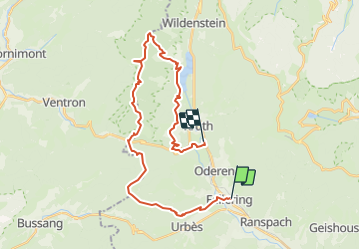

14 km | 19,8 km-effort


Utilisateur


Application GPS de randonnée GRATUITE
 SityTrail
IGN / Instituts géographiques
SityTrail World
Le monde est à vous
Randonnée Autre activité de 30 km à découvrir à Grand Est, Haut-Rhin, Fellering. Cette randonnée est proposée par markrei.
Fellering gare- Le Drumont - tete de Fellering - Col d'Oderen - Haut de Felsach - Petit Ventron - Le Grand ventron - Auberge du Grand ventron - Bocklochkopf - Lac de Kruth Wildenstein - Bourbach - Frenz - Kruth Gare
Guide : Pierre Jung

Marche

Marche

A pied
Marche

Marche
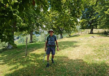
Marche
Marche
Marche
Marche