


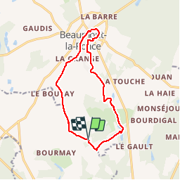

10,5 km | 12,5 km-effort


Utilisateur


Application GPS de randonnée GRATUITE
 SityTrail
IGN / Instituts géographiques
SityTrail World
Le monde est à vous
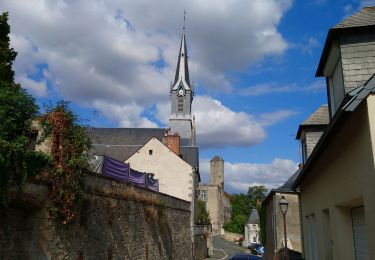
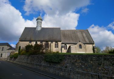
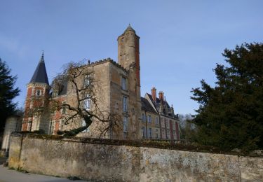
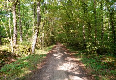
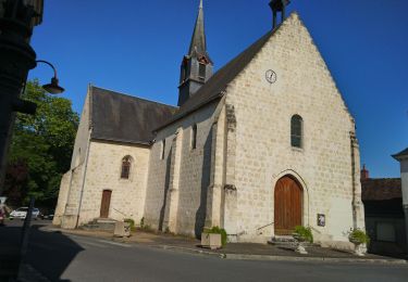
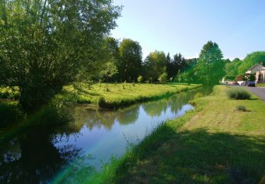
Randonnée Marche de 12,6 km à découvrir à Centre-Val de Loire, Indre-et-Loire, Rouziers-de-Touraine. Cette randonnée est proposée par dporcher.
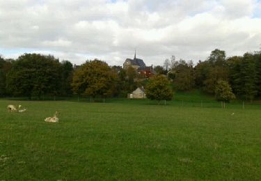
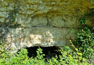
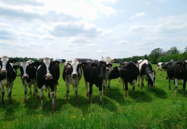
sous bois et plaines
Marche
Marche
Marche
Marche
Marche
Marche
Marche
Marche
Marche