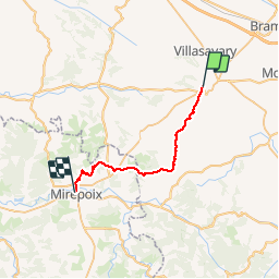

16,9 km | 21 km-effort


Utilisateur


Application GPS de randonnée GRATUITE
 SityTrail
IGN / Instituts géographiques
SityTrail World
Le monde est à vous
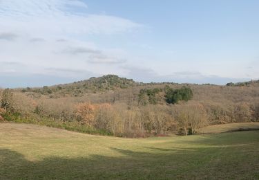
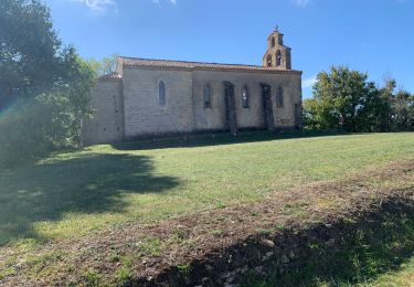
Randonnée Marche de 26 km à découvrir à Occitanie, Aude, Fanjeaux. Cette randonnée est proposée par richard21220.
Hôtels à 09500 MIREPOIX Tél OT 05 61 68 83 76
Chambres d'Hôtes : Larché 09500 MIREPOIX Tél 06 77 39 84 23

Marche

Marche

V.T.T.

Marche
Marche
A pied

Marche
Marche