


9,8 km | 13,2 km-effort


Utilisateur


Application GPS de randonnée GRATUITE
 SityTrail
IGN / Instituts géographiques
SityTrail World
Le monde est à vous
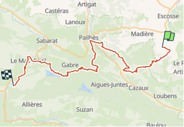
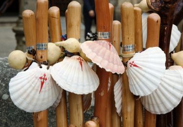
Randonnée Marche de 37 km à découvrir à Occitanie, Ariège, Saint-Victor-Rouzaud. Cette randonnée est proposée par patoche2009.
Voir étape 1 Carcassonne - Ville neuve les Montréal
Marche
Marche
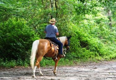
Cheval
Cheval

V.T.T.

Marche
Marche
Marche
Marche