


20 km | 27 km-effort

Utilisateur


Application GPS de randonnée GRATUITE
 SityTrail
IGN / Instituts géographiques
SityTrail World
Le monde est à vous
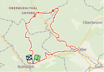
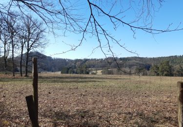
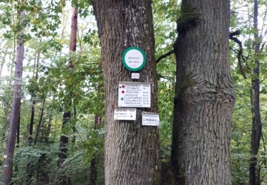
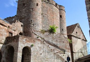
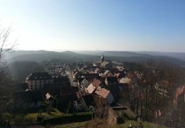
Randonnée Marche de 29 km à découvrir à Grand Est, Bas-Rhin, Offwiller. Cette randonnée est proposée par Bibole.


Marche
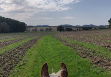
Randonnée équestre

Randonnée équestre
Marche
Marche

Marche
Marche

Marche