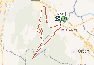

15,3 km | 19,7 km-effort


Utilisateur


Application GPS de randonnée GRATUITE
 SityTrail
IGN / Instituts géographiques
SityTrail World
Le monde est à vous
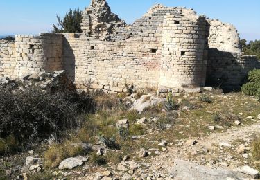
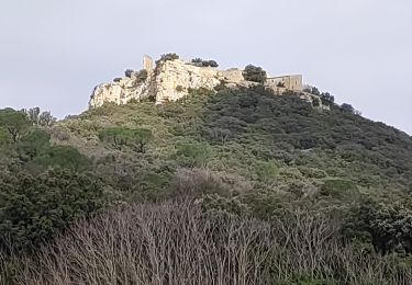
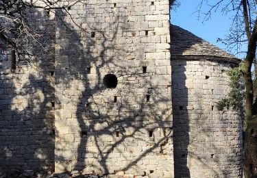
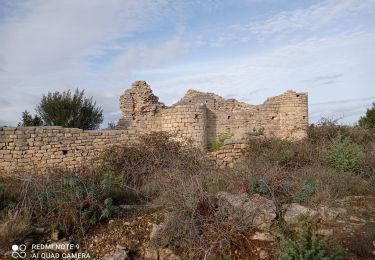
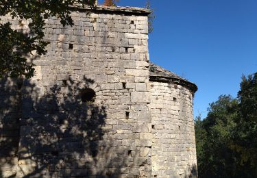
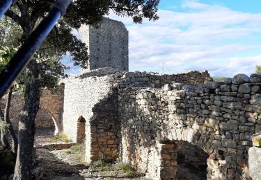
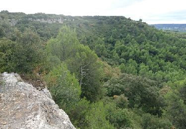
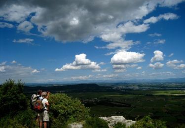
Randonnée Marche de 8,6 km à découvrir à Occitanie, Gard, Bagnols-sur-Cèze. Cette randonnée est proposée par boudatadec.
Cyclemeter Randonnée 11 avr. 2017 à 08:03:20
Marche
Marche
Marche
Marche
Marche
V.T.T.

Marche
Marche