


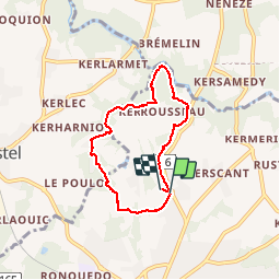

13,5 km | 16,2 km-effort


Utilisateur


Application GPS de randonnée GRATUITE
 SityTrail
IGN / Instituts géographiques
SityTrail World
Le monde est à vous
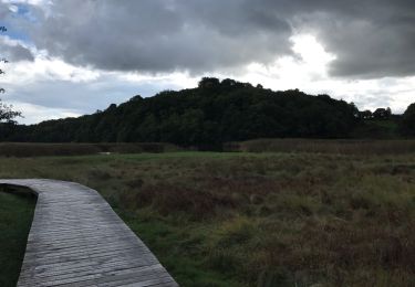
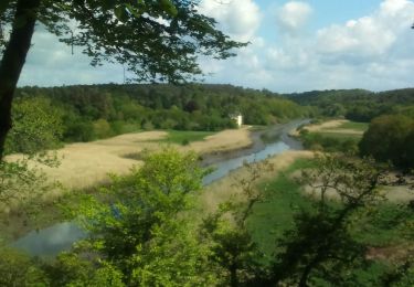
Randonnée Marche de 5,6 km à découvrir à Bretagne, Morbihan, Quéven. Cette randonnée est proposée par dlenaour56.
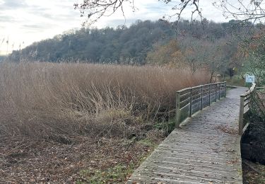
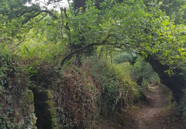
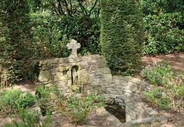
Tour du golf de Quéven
Marche
Marche
Marche
Marche

V.T.T.

Marche
Marche