


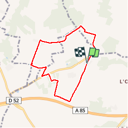

10,9 km | 13,1 km-effort


Utilisateur


Application GPS de randonnée GRATUITE
 SityTrail
IGN / Instituts géographiques
SityTrail World
Le monde est à vous
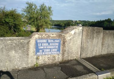
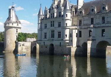
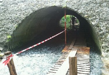
Randonnée Marche de 6,7 km à découvrir à Centre-Val de Loire, Indre-et-Loire, Luzillé. Cette randonnée est proposée par jeepee93.


Marche
Marche
Marche
Marche

Marche
Marche
Marche
Marche
Marche
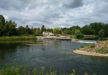
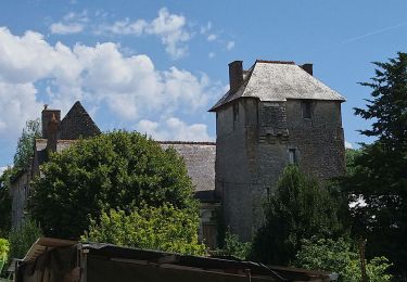
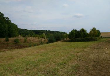
petite rando familiale tranquille