


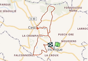

11,8 km | 14,8 km-effort


Utilisateur


Application GPS de randonnée GRATUITE
 SityTrail
IGN / Instituts géographiques
SityTrail World
Le monde est à vous
Randonnée Marche de 10,7 km à découvrir à Occitanie, Tarn, Cestayrols. Cette randonnée est proposée par jpipacific.
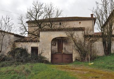
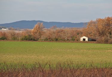
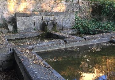
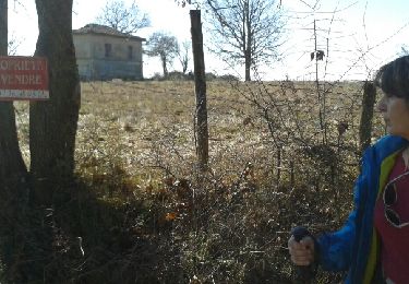
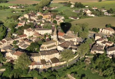
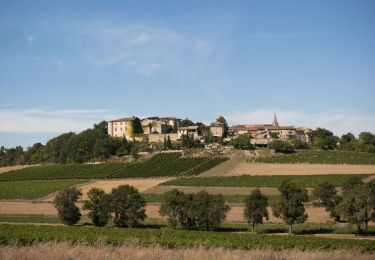
Quelques jolies vues. Beau village de Cesteyrol et de belles maisons au bord du chemin

Marche
Marche
Marche

Marche
Marche
Marche
Marche nordique
Marche nordique

Marche nordique