Randonnée Marche Barville - Barville - Photo
 werth
werth

Utilisateur

© OpenStreetMap contributors
Longueur
Longueur
7,8 km
Altitude max
Altitude max
172 m
Dénivelé positif
Dénivelé positif
74 m
Km-Effort
Km-Effort  
8,7 km
Altitude min
Altitude min
139 m
Dénivelé négatif
Dénivelé négatif
69 m
Boucle
Boucle
Non
Date de création :
2017-05-09 00:00:00.0
Dernière modification :
2017-05-09 00:00:00.0

(1 Avis)

Marche
Marche
2h05
Difficulté : Facile

Scannez ce code QR pour ouvrir la randonnée dans l'application SityTrail

Application GPS de randonnée GRATUITE

Logo SityTrail SityTrail

IGN / Instituts géographiques

Télécharger SityTrail sur l'App Store Télécharger SityTrail sur Google Play

Logo SityTrail SityTrail World

Le monde est à vous

Télécharger SityTrail sur l'App Store Télécharger SityTrail sur Google Play Télécharger SityTrail sur Huawei AppGallery

À propos

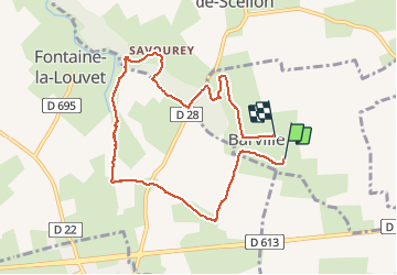
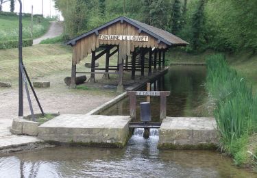
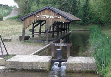
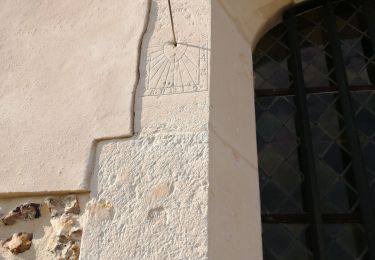
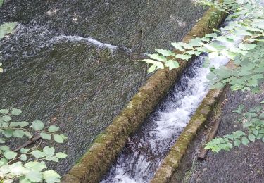
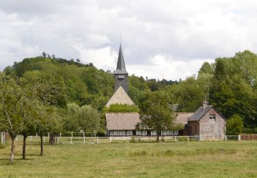
Randonnée Marche de 7,8 km à découvrir à Normandie, Eure, Barville. Cette randonnée est proposée par werth.

Description

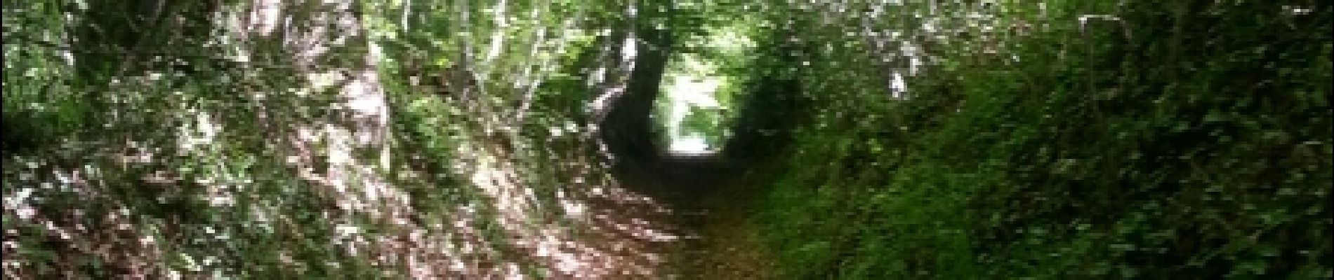
Très joli. à refaire

Profil altimétrique

Photos

Localisation

Pays :
France
Région :
Normandie
Département/Province :
Eure
Commune :
Barville
Localité :
Unknown
Départ:(Dec)
Départ:(UTM)
316378 ; 5447753 (31U) N.

Commentaires

Veuillez vous connecter pour laisser un commentaire ou une note


Randonnées à proximité

Randonnée Autre activité La Chapelle-Hareng - La chapelle Hareng - Photo
Autre activité
werth

Autre activité

Très facile
(1)
La Chapelle-Hareng, Normandie, Eure, France
6,1 km | 7,1 km-effort
1h 40min
Non
Randonnée Marche Fontaine-la-Louvet - Circuit de la Calonne  - Fontaine-la-Louvet - Photo
Marche
tracegps

Marche

Moyen
Fontaine-la-Louvet, Normandie, Eure, France
8,2 km | 9,8 km-effort
2h 0min
Oui
Randonnée Vélo Fontaine-la-Louvet - Boucle du Haras de Piencourt  - Fontaine la Louvet - Photo
Vélo
tracegps

Vélo

Facile
Fontaine-la-Louvet, Normandie, Eure, France
15,3 km | 17,1 km-effort
1h 0min
Oui
Randonnée Marche Barville - Barville- 27 - Photo
Marche
Sylber

Marche

Facile
Barville, Normandie, Eure, France
8,8 km | 10 km-effort
2h 40min
Oui
Randonnée Marche Bailleul-la-Vallée - Bailleul la Vallée : la randonnée qui monte  - Photo
Marche
jluclem

Marche

Difficile
Bailleul-la-Vallée, Normandie, Eure, France
11,1 km | 13,1 km-effort
2h 39min
Oui
Randonnée Marche La Chapelle-Hareng - chemin de la Baronniere - Photo
Marche
ymarvin

Marche

Facile
La Chapelle-Hareng, Normandie, Eure, France
6,6 km | 7,7 km-effort
1h 31min
Oui
Randonnée Marche Le Theil-Nolent - theil nolan version courte - Photo
Marche
ymarvin27

Marche

Facile
Le Theil-Nolent, Normandie, Eure, France
6,8 km | 7,2 km-effort
1h 29min
Oui
Randonnée V.T.T. Bailleul-la-Vallée - Chemin de l'Abbesse - Bailleul la Vallée - Photo
V.T.T.
tracegps

V.T.T.

Facile
(1)
Bailleul-la-Vallée, Normandie, Eure, France
8,1 km | 9,7 km-effort
1h 0min
Oui
Randonnée Marche Bailleul-la-Vallée - Chemin de l'Abbesse - Bailleul la Vallée - Photo
Marche
tracegps

Marche

Moyen
Bailleul-la-Vallée, Normandie, Eure, France
8,1 km | 9,7 km-effort
2h 0min
Oui


Fermer
Mes abonnements