


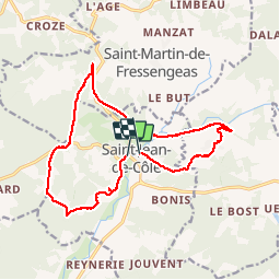

12 km | 14,4 km-effort

Utilisateur


Application GPS de randonnée GRATUITE
 SityTrail
IGN / Instituts géographiques
SityTrail World
Le monde est à vous
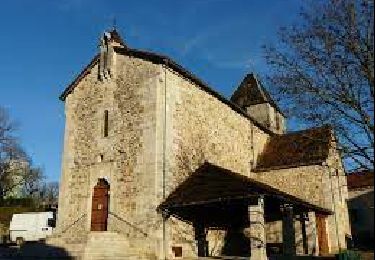
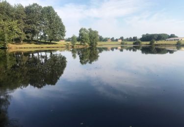
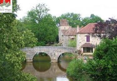
Randonnée Marche de 16,3 km à découvrir à Nouvelle-Aquitaine, Dordogne, Saint-Jean-de-Côle. Cette randonnée est proposée par Patxito.


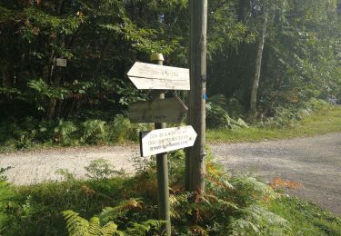
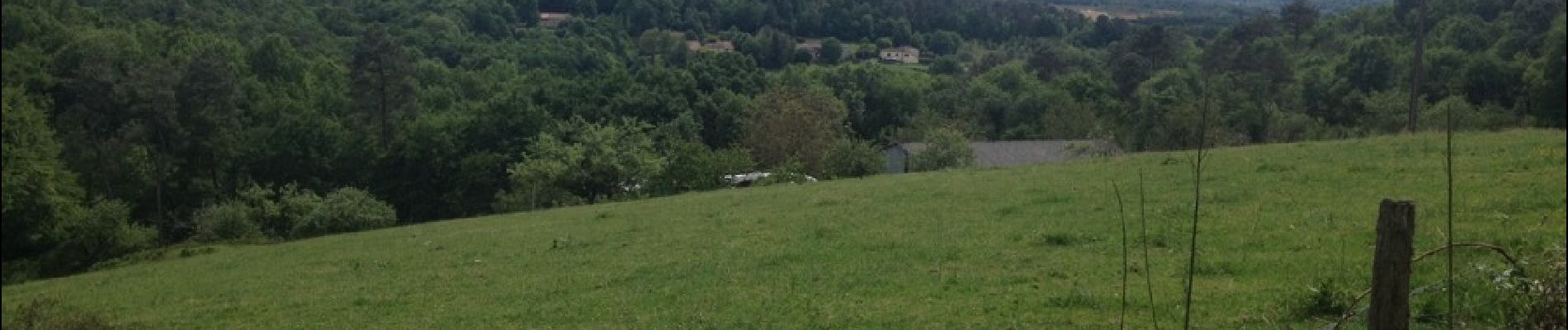
Marche
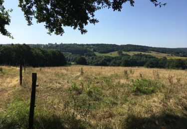
Marche
Marche
Marche
Marche

A pied

Marche
Marche
Marche