


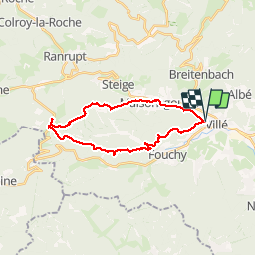


18,4 km | 27 km-effort

Utilisateur


Application GPS de randonnée GRATUITE
 SityTrail
IGN / Instituts géographiques
SityTrail World
Le monde est à vous
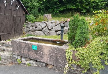
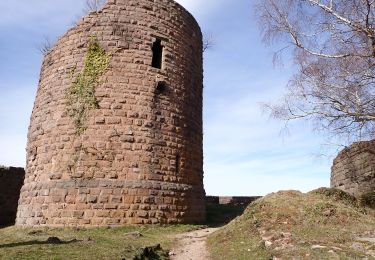
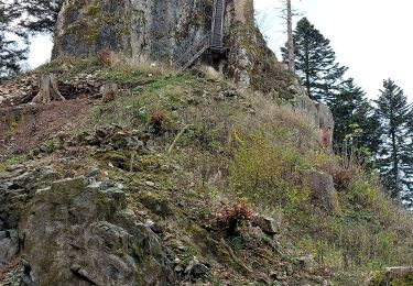
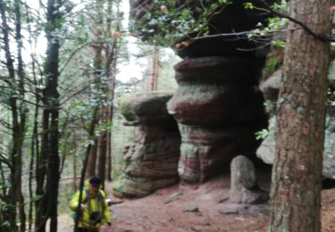
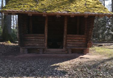
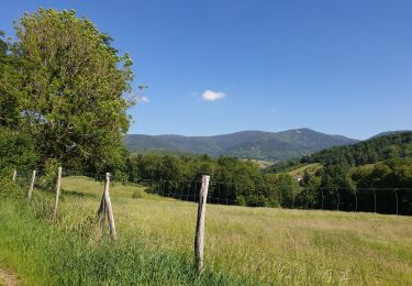
Randonnée Marche de 22 km à découvrir à Grand Est, Bas-Rhin, Villé. Cette randonnée est proposée par LUTZMarc.
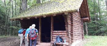
Marche en montagne.
Départ salle des sports de Villé
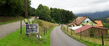
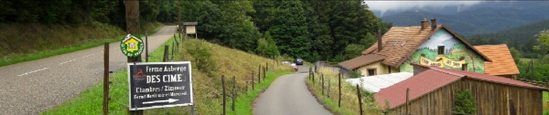
Repas possible à la
ferme Auberge des CIMES.
Il est préférable de réserver.


V.T.T.

Marche

Marche
Marche
Marche
Marche
Marche
Marche
excellent