Randonnée Marche Vernaux - TRIMOUNS vers SOULARAC et ST BARTHELEMY - Photo

TRIMOUNS vers SOULARAC et ST BARTHELEMY

 jopost
jopost

Utilisateur

© OpenStreetMap contributors
Longueur
Longueur
11,3 km
Altitude max
Altitude max
2345 m
Dénivelé positif
Dénivelé positif
996 m
Km-Effort
Km-Effort  
25 km
Altitude min
Altitude min
1562 m
Dénivelé négatif
Dénivelé négatif
997 m
Boucle
Boucle
Oui
Date de création :
2017-08-07 00:00:00.0
Dernière modification :
2019-09-02 20:06:58.773

(0 Avis)

Marche
Marche
7h30
Difficulté : Difficile

Scannez ce code QR pour ouvrir la randonnée dans l'application SityTrail

Application GPS de randonnée GRATUITE

Logo SityTrail SityTrail

IGN / Instituts géographiques

Télécharger SityTrail sur l'App Store Télécharger SityTrail sur Google Play

Logo SityTrail SityTrail World

Le monde est à vous

Télécharger SityTrail sur l'App Store Télécharger SityTrail sur Google Play Télécharger SityTrail sur Huawei AppGallery

À propos

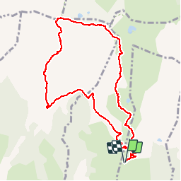
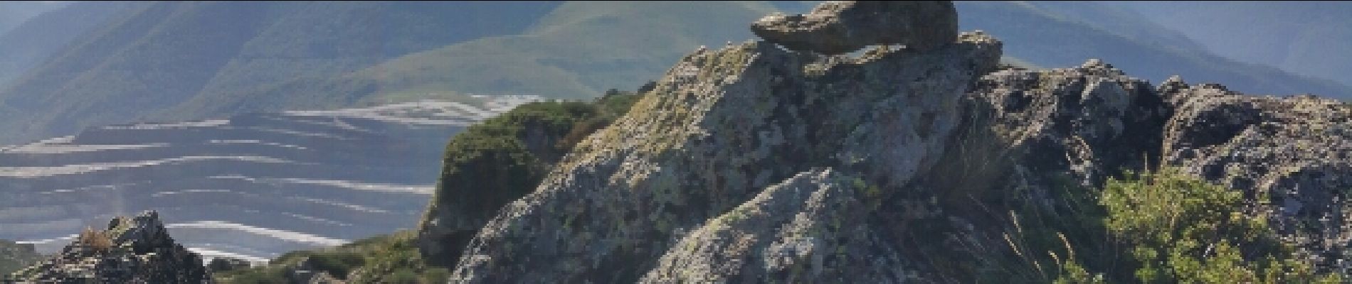
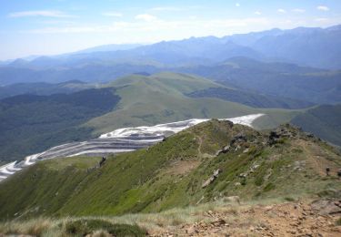
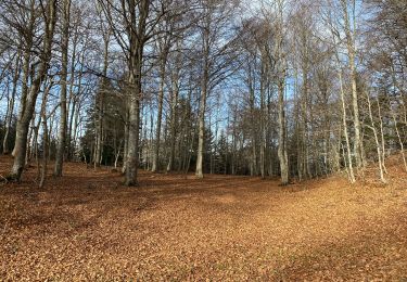
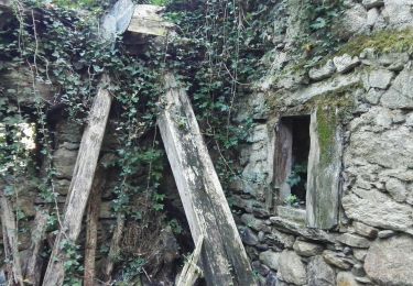
Randonnée Marche de 11,3 km à découvrir à Occitanie, Ariège, Vernaux. Cette randonnée est proposée par jopost.

Description

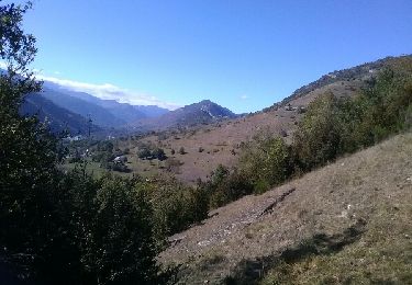
15km en voiture depuis Luzenac en direction de la carrière, parking sur votre gauche.
Ensuite pour marcheur averti vous atteindrez le Soularac après 3h30, puis le St Barthélemy après 4h15 environ, 30mn pour manger et retour 3h15, durée 7h30

Profil altimétrique

Photos

Localisation

Pays :
France
Région :
Occitanie
Département/Province :
Ariège
Commune :
Vernaux
Localité :
Unknown
Départ:(Dec)
Départ:(UTM)
400781 ; 4738597 (31T) N.

Randonnées à proximité

Randonnée Marche Montségur - Pic de Saint Barthélemy - Pic de Soularac - Photo
Marche
tracegps

Marche

Difficile
(1)
Montségur, Occitanie, Ariège, France
12,7 km | 27 km-effort
6h 0min
Oui
Randonnée Marche Ignaux - Chioula d - Photo
Marche
GUIDE
antignacs

Marche

Très facile
Ignaux, Occitanie, Ariège, France
15,1 km | 21 km-effort
3h 50min
Oui
Randonnée Marche Garanou - Camina De Luzenac à Ax les thermes - Photo
Marche
c.chehere

Marche

Moyen
Garanou, Occitanie, Ariège, France
16,8 km | 24 km-effort
6h 41min
Non
Randonnée Marche Caussou - Le col de Marmare - Photo
Marche
c.chehere

Marche

Moyen
Caussou, Occitanie, Ariège, France
14,1 km | 21 km-effort
4h 21min
Oui
Randonnée V.T.T. Caussou - CIRCUIT 11 ARTUZET CHIOULA - Photo
V.T.T.
GUIDE
harydh

V.T.T.

Moyen
Caussou, Occitanie, Ariège, France
15,3 km | 22 km-effort
2h 31min
Oui
Randonnée Marche Luzenac - cabane  coumels - Photo
Marche
chrisgps

Marche

Moyen
Luzenac, Occitanie, Ariège, France
8,8 km | 19,1 km-effort
6h 1min
Oui
Randonnée Marche Vèbre - Vebre, Lassure, La Remise, Vebre - Photo
Marche
luccio20231

Marche

Facile
Vèbre, Occitanie, Ariège, France
8,1 km | 12,6 km-effort
2h 34min
Oui
Randonnée Marche Ignaux - Le col et le refuge du Chioula:18819 - Photo
Marche
richardsimopons

Marche

Ignaux, Occitanie, Ariège, France
7,5 km | 10,5 km-effort
2h 28min
Oui
Randonnée Marche Unac - Vallée de Caussou - Photo
Marche
c.chehere

Marche

Facile
Unac, Occitanie, Ariège, France
9,1 km | 12,5 km-effort
2h 53min
Oui


Fermer
Mes abonnements