Randonnée Marche Compiègne - en forêt de Compiègne_5_les Beaux Monts_carrefours du Liban et du Précipice de l'Ortille - Photo

en forêt de Compiègne_5_les Beaux Monts_carrefours du Liban et du Précipice de l'Ortille

mes randos en forêt

© OpenStreetMap contributors
Longueur
Longueur
20 km
Altitude max
Altitude max
149 m
Dénivelé positif
Dénivelé positif
357 m
Km-Effort
Km-Effort  
25 km
Altitude min
Altitude min
48 m
Dénivelé négatif
Dénivelé négatif
357 m
Boucle
Boucle
Oui
Date de création :
2018-05-25 00:00:00.0
Dernière modification :
2020-11-08 10:26:09.466

(0 Avis)

Marche
Marche
5h53
Difficulté : Difficile

Scannez ce code QR pour ouvrir la randonnée dans l'application SityTrail

Application GPS de randonnée GRATUITE

Logo SityTrail SityTrail

IGN / Instituts géographiques

Télécharger SityTrail sur l'App Store Télécharger SityTrail sur Google Play

Logo SityTrail SityTrail World

Le monde est à vous

Télécharger SityTrail sur l'App Store Télécharger SityTrail sur Google Play Télécharger SityTrail sur Huawei AppGallery

À propos

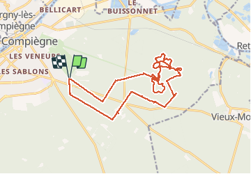
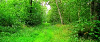
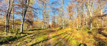
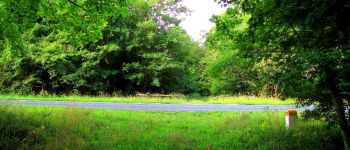
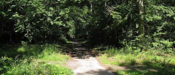
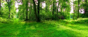
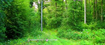
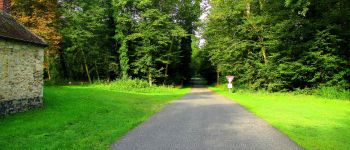
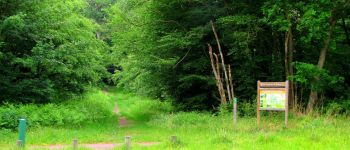
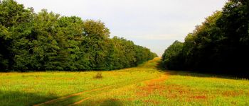
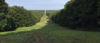
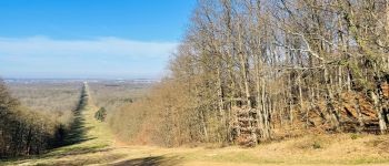
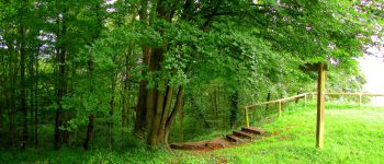
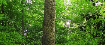
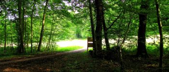
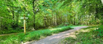
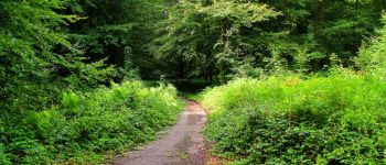
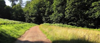
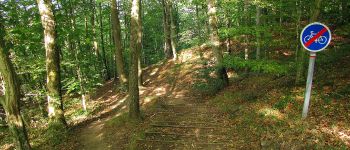
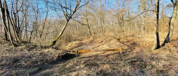
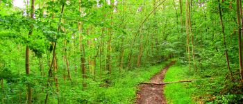
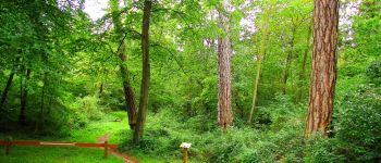
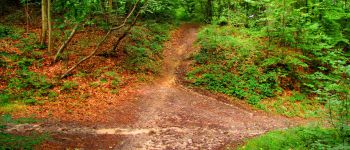
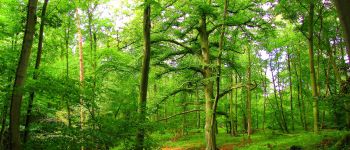
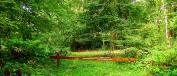
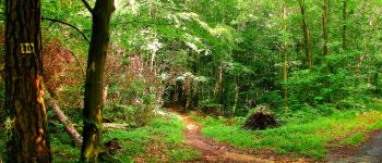
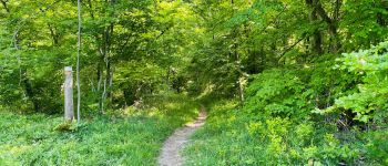
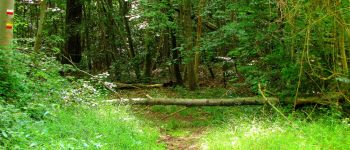
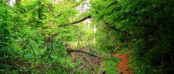
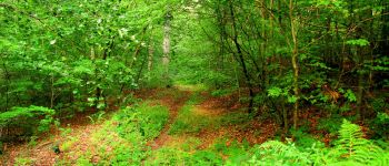
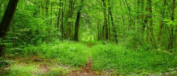
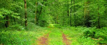
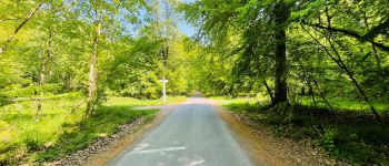
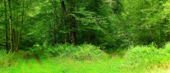
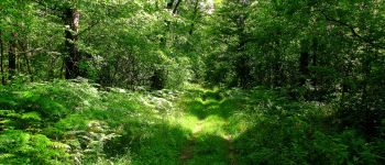
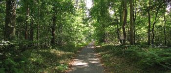
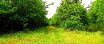
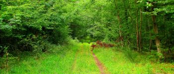
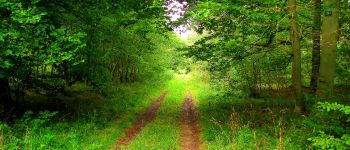
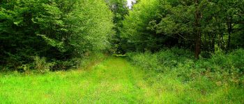
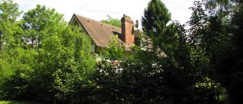
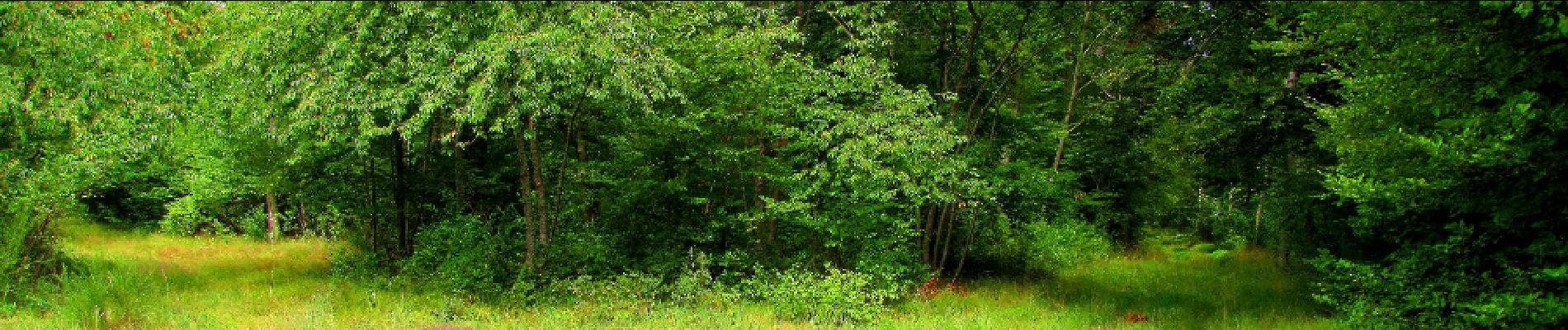
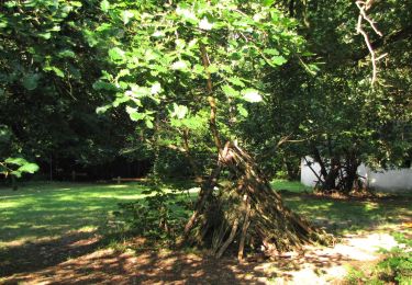
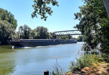
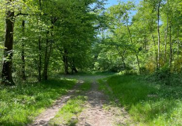
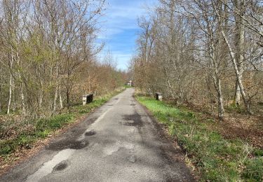
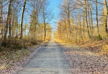
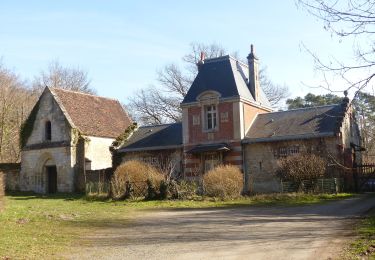
Randonnée Marche de 20 km à découvrir à Hauts-de-France, Oise, Compiègne. Cette randonnée est proposée par en forêt de Compiègne.

Description

08/ 2017
voir aussi:


batterie de rechange pour iphone indispensable.

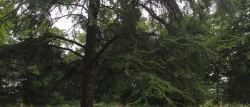
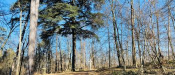
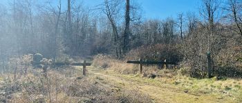
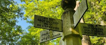
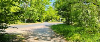
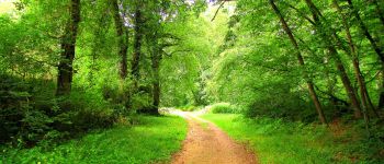
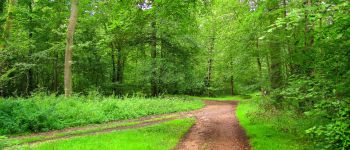
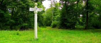
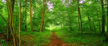
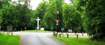
au départ du carrefour Royal, suivre la route de la Faisanderie jusqu'au carrefour avec la route du Carandeau. Continuer à gauche cette route jusqu'au carrefour Victoire. Prendre à droite le chemin qui mène à la maison forestière des Vineux et continuer jusqu'au carrefour du Tréan. Remonter l'avenue des Beaux Monts jusqu'au Belvédère. Prendre à droite la route Eugénie et revenir au Belvédère. Redescendre l'avenue des Beaux Monts puis suivre à droite le sentier (promenade des points de vue des Beaux Monts) en remontant au Belvédère.Suivre à gauche la route des Près (pins greffés et cèdre Marie-Louise à côté) et continuer jusqu'à l'intersection avec la route forestière des Beaux Monts. Prendre à gauche le sentier jusqu'au carrefour du Liban puis remonter en suivant la route qui mène au carrefour du Liban et redescendre au carrefour du Précipice de l'Ortille. Descendre sur le GR12A et prendre à droite le sentier qui mène au carrefour de l'Envers des Beaux Monts. Suivre à gauche la route du Saut du Cerf (?) jusqu'au carrefour avec la route de Morpigny. Continuer à gauche cette route jusqu'au carrefour du Gouverneur. Prendre à droite la route de Saint-Pierre jusqu'à la maison forestière de Sainte-Corneille. Continuer sur la route de Sainte-Corneille jusqu'au carrefour avec la route de Berne. Suivre à gauche cette route jusqu'au carrefour avec la route d'Humières. Prendre à droite la route d'Humières jusqu'au carrefour du Guet du Nid. Suivre à droite le GR655 pour revenir au carrefour Royal.

Profil altimétrique

Photos

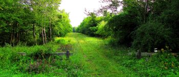
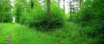
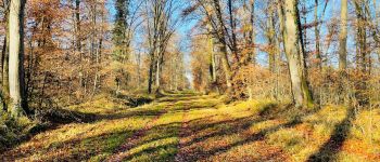
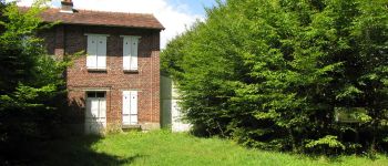
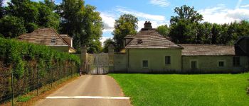
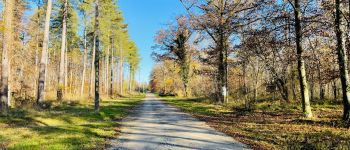
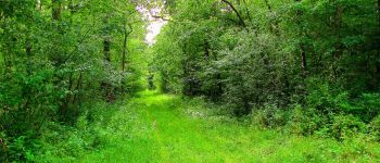
166 photos au total. Cliquez sur une photo pour les afficher toutes dans la galerie.

Points d'intérêt

Point d'intérêt Compiègne - Point 1 - Photo
JeanLucA4
COMPIÈGNE 
Point d'intérêt Compiègne - Point 2 - Photo
JeanLucA4
COMPIÈGNE 
Point d'intérêt Compiègne - Point 3 - Photo
JeanLucA4
COMPIÈGNE 
Point d'intérêt Compiègne - Point 4 - Photo
JeanLucA4
COMPIÈGNE 
Point d'intérêt Compiègne - Point 5 - Photo
JeanLucA4
COMPIÈGNE 
Point d'intérêt Compiègne - Point 6 - Photo
JeanLucA4
COMPIÈGNE 
Point d'intérêt Compiègne - Point 7 - Photo
JeanLucA4
COMPIÈGNE 
Point d'intérêt Compiègne - Point 8 - Photo
JeanLucA4
COMPIÈGNE 
Point d'intérêt Compiègne - Point 9 - Photo
JeanLucA4
COMPIÈGNE 
Point d'intérêt Compiègne - Point 10 - Photo
JeanLucA4
COMPIÈGNE 
Point d'intérêt Compiègne - Point 11 - Photo
JeanLucA4
COMPIÈGNE 
Point d'intérêt Compiègne - Point 13 - Photo
JeanLucA4
COMPIÈGNE 
Point d'intérêt Compiègne - Point 14 - Photo
JeanLucA4
COMPIÈGNE 
Point d'intérêt Compiègne - Point 15 - Photo
JeanLucA4
COMPIÈGNE 
Point d'intérêt Compiègne - Point 21 - Photo
JeanLucA4
COMPIÈGNE 
Point d'intérêt Compiègne - Point 16 - Photo
JeanLucA4
COMPIÈGNE 
Point d'intérêt Compiègne - Point 17 - Photo
JeanLucA4
COMPIÈGNE 
Point d'intérêt Compiègne - Point 18 - Photo
JeanLucA4
COMPIÈGNE 
Point d'intérêt Compiègne - Point 19 - Photo
JeanLucA4
COMPIÈGNE 
Point d'intérêt Compiègne - Point 20 - Photo
JeanLucA4
COMPIÈGNE 
Point d'intérêt Compiègne - Point 22 - Photo
JeanLucA4
COMPIÈGNE 
Point d'intérêt Compiègne - Point 23 - Photo
JeanLucA4
COMPIÈGNE 
Point d'intérêt Compiègne - Point 24 - Photo
JeanLucA4
COMPIÈGNE 
Point d'intérêt Compiègne - Point 25 - Photo
JeanLucA4
COMPIÈGNE 
Point d'intérêt Compiègne - Point 26 - Photo
JeanLucA4
COMPIÈGNE 
Point d'intérêt Compiègne - Point 27 - Photo
JeanLucA4
COMPIÈGNE 
Point d'intérêt Compiègne - Point 30 - Photo
JeanLucA4
COMPIÈGNE 
Point d'intérêt Compiègne - Point 28 - Photo
JeanLucA4
COMPIÈGNE 
Point d'intérêt Compiègne - Point 30 - Photo
JeanLucA4
COMPIÈGNE 
Point d'intérêt Compiègne - Point 31 - Photo
JeanLucA4
COMPIÈGNE 
Point d'intérêt Compiègne - Point 32 - Photo
JeanLucA4
COMPIÈGNE 
Point d'intérêt Compiègne - Point 29 - Photo
JeanLucA4
COMPIÈGNE 
Point d'intérêt Compiègne - Point 33 - Photo
JeanLucA4
COMPIÈGNE 
Point d'intérêt Compiègne - Point 34 - Photo
JeanLucA4
COMPIÈGNE 
Point d'intérêt Compiègne - Point 35 - Photo
JeanLucA4
COMPIÈGNE 
Point d'intérêt Compiègne - Point 36 - Photo
JeanLucA4
COMPIÈGNE 
Point d'intérêt Compiègne - Point 37 - Photo
JeanLucA4
COMPIÈGNE 
Point d'intérêt Compiègne - Point 38 - Photo
JeanLucA4
COMPIÈGNE 
Point d'intérêt Compiègne - Point 39 - Photo
JeanLucA4
COMPIÈGNE 
Point d'intérêt Compiègne - Point 40 - Photo
JeanLucA4
COMPIÈGNE 
Point d'intérêt Compiègne - Point 41 - Photo
JeanLucA4
COMPIÈGNE 
Point d'intérêt Compiègne - Point 42 - Photo
JeanLucA4
COMPIÈGNE 
Point d'intérêt Compiègne - Point 43 - Photo
JeanLucA4
COMPIÈGNE 
Point d'intérêt Compiègne - Point 44 - Photo
JeanLucA4
COMPIÈGNE 
Point d'intérêt Compiègne - Point 45 - Photo
JeanLucA4
COMPIÈGNE 
Point d'intérêt Compiègne - Point 46 - Photo
JeanLucA4
COMPIÈGNE 
Point d'intérêt Compiègne - Point 47 - Photo
JeanLucA4
COMPIÈGNE 
Point d'intérêt Compiègne - Point 48 - Photo
JeanLucA4
COMPIÈGNE 
Point d'intérêt Compiègne - Point 50 - Photo
JeanLucA4
COMPIÈGNE 
Point d'intérêt Compiègne - Point 52 - Photo
JeanLucA4
COMPIÈGNE 
Point d'intérêt Compiègne - Point 53 - Photo
JeanLucA4
COMPIÈGNE 
Point d'intérêt Compiègne - Point 54 - Photo
JeanLucA4
COMPIÈGNE 
Point d'intérêt Compiègne - Point 55 - Photo
JeanLucA4
COMPIÈGNE 
Point d'intérêt Compiègne - Point 56 - Photo
JeanLucA4
COMPIÈGNE 
Point d'intérêt Compiègne - Point 57 - Photo
JeanLucA4
COMPIÈGNE 
Point d'intérêt Compiègne - Point 58 - Photo
JeanLucA4
COMPIÈGNE 
Point d'intérêt Compiègne - Point 59 - Photo
JeanLucA4
COMPIÈGNE 
Point d'intérêt Compiègne - Point 60 - Photo
JeanLucA4
COMPIÈGNE 
Point d'intérêt Compiègne - Point 51 - Photo
JeanLucA4
COMPIÈGNE 
Point d'intérêt Compiègne - départ - Photo
JeanLucA4
COMPIÈGNE 
Point d'intérêt Compiègne - Retour - Photo
JeanLucA4
COMPIÈGNE 
Point d'intérêt Compiègne - Point 49 - Photo
JeanLucA4
COMPIÈGNE 

Localisation

Pays :
France
Région :
Hauts-de-France
Département/Province :
Oise
Commune :
Compiègne
Localité :
Unknown
Départ:(Dec)
Départ:(UTM)
488851 ; 5472597 (31U) N.

Randonnées à proximité

Randonnée Marche Choisy-au-Bac - en forêt de Laigue_9_06_2020_Chemin du Fau Bidaud et la Route de Royaumont - Photo
Marche

Marche

Très difficile
(1)
Choisy-au-Bac, Hauts-de-France, Oise, France
9,6 km | 12,8 km-effort
3h 0min
Oui
Randonnée Marche Clairoix - Randonnée au fort Ganelon ( Clairoix) - Photo
Marche
dudu42

Marche

Moyen
Clairoix, Hauts-de-France, Oise, France
10,5 km | 14 km-effort
2h 33min
Oui
Randonnée Marche Jaux - JAUX, Oise - Photo
Marche
jeannine grandjean

Marche

Moyen
Jaux, Hauts-de-France, Oise, France
6,4 km | 7,7 km-effort
1h 45min
Oui
Randonnée Marche Compiègne - en Forêt de Compiègne_50_les Routes des Beaux Monts, de Morpigny et des Nymphes - Photo
Marche

Marche

Très difficile
Compiègne, Hauts-de-France, Oise, France
17 km | 20 km-effort
5h 2min
Oui
Randonnée Marche Compiègne - en forêt de Compiègne_48_sur les Routes de la Mariolle et du Grand Veneur - Photo
Marche

Marche

Très difficile
Compiègne, Hauts-de-France, Oise, France
17 km | 19,9 km-effort
5h 21min
Oui
Randonnée Marche Compiègne - Compiegne rond point de l’Armistice 13,4 km - Photo
Marche
GUIDE
rvapeldo

Marche

Facile
Compiègne, Hauts-de-France, Oise, France
13,4 km | 17,5 km-effort
3h 36min
Oui
Randonnée Marche Compiègne - en forêt de Compiègne_47_autour des Beaux Monts - Photo
Marche

Marche

Moyen
Compiègne, Hauts-de-France, Oise, France
4,8 km | 6,4 km-effort
1h 27min
Non
Randonnée Marche Lacroix-Saint-Ouen - en forêt de Compiègne_45_sur les Routes de Morienval et de Champlieu - Photo
Marche

Marche

Moyen
Lacroix-Saint-Ouen, Hauts-de-France, Oise, France
15 km | 17,4 km-effort
4h 29min
Oui
Randonnée A pied Compiègne - Promenade du Point de Vue des beaux Monts - Photo
A pied
PRO

A pied

Facile
Compiègne, Hauts-de-France, Oise, France
3,1 km | 3,8 km-effort
51min
Oui


Fermer
Mes abonnements