


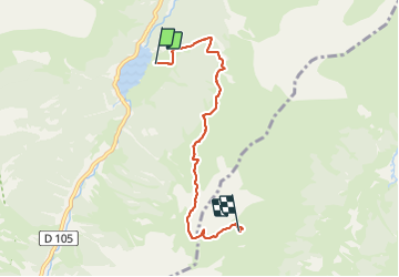

3,6 km | 5,1 km-effort


Utilisateur


Application GPS de randonnée GRATUITE
 SityTrail
IGN / Instituts géographiques
SityTrail World
Le monde est à vous
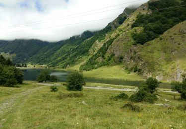
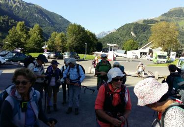
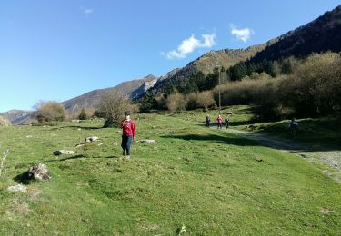
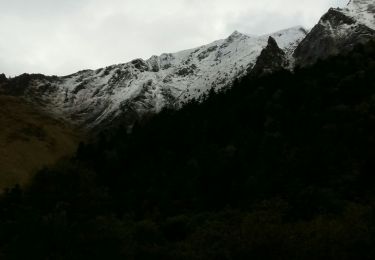
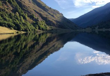
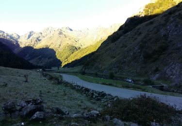
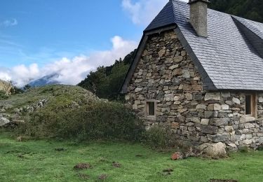
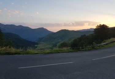
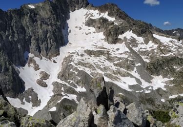
Randonnée Marche de 5,8 km à découvrir à Occitanie, Hautes-Pyrénées, Arrens-Marsous. Cette randonnée est proposée par stansab.

Marche
Marche
Marche
Marche
Marche
Marche
Marche
Marche
Marche