


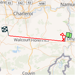

20 km | 25 km-effort


Utilisateur


Application GPS de randonnée GRATUITE
 SityTrail
IGN / Instituts géographiques
SityTrail World
Le monde est à vous
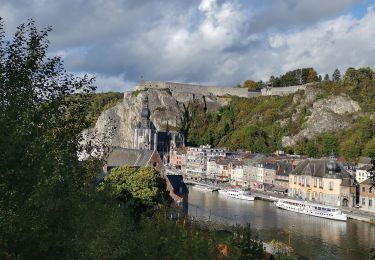
Randonnée Marche de 60 km à découvrir à Wallonie, Namur, Onhaye. Cette randonnée est proposée par vivalavie.

Marche

Marche

Marche

Marche

Marche

Marche

Marche

Marche
Marche