


6,1 km | 8,9 km-effort


Utilisateur


Application GPS de randonnée GRATUITE
 SityTrail
IGN / Instituts géographiques
SityTrail World
Le monde est à vous
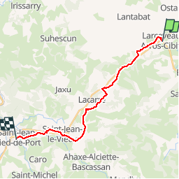
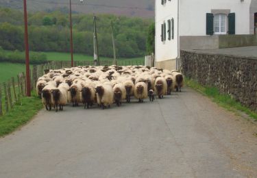
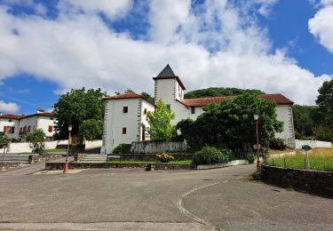
Randonnée Marche de 19,4 km à découvrir à Nouvelle-Aquitaine, Pyrénées-Atlantiques, Larceveau-Arros-Cibits. Cette randonnée est proposée par uru2010.
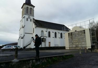
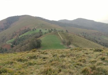
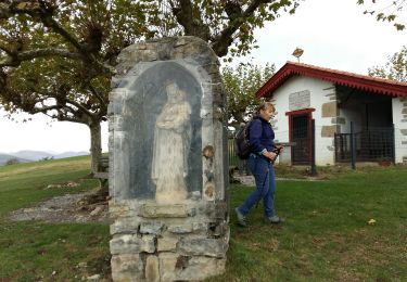
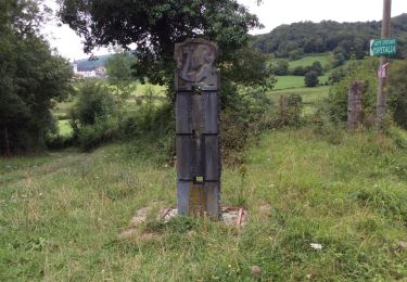
Chemin de Saint-Jacques de Compostelle
Larceveau -> St-Jean-Pied-de-Port

Marche
Marche
Marche
Marche
Marche
Marche

Marche
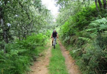
V.T.T.
Marche