Randonnée Marche Maurepas - Etangs Dassault 09/11/2017 - Photo

Etangs Dassault 09/11/2017

 microb
microb

Utilisateur

© OpenStreetMap contributors
Longueur
Longueur
7,8 km
Altitude max
Altitude max
182 m
Dénivelé positif
Dénivelé positif
109 m
Km-Effort
Km-Effort  
9,3 km
Altitude min
Altitude min
105 m
Dénivelé négatif
Dénivelé négatif
113 m
Boucle
Boucle
Non
Date de création :
2018-04-17 12:31:43.398
Dernière modification :
2018-04-17 12:31:43.398

(0 Avis)

Marche
Marche
2h01
Difficulté : Moyen

Scannez ce code QR pour ouvrir la randonnée dans l'application SityTrail

Application GPS de randonnée GRATUITE

Logo SityTrail SityTrail

IGN / Instituts géographiques

Télécharger SityTrail sur l'App Store Télécharger SityTrail sur Google Play

Logo SityTrail SityTrail World

Le monde est à vous

Télécharger SityTrail sur l'App Store Télécharger SityTrail sur Google Play Télécharger SityTrail sur Huawei AppGallery

À propos

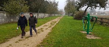
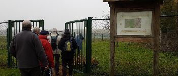
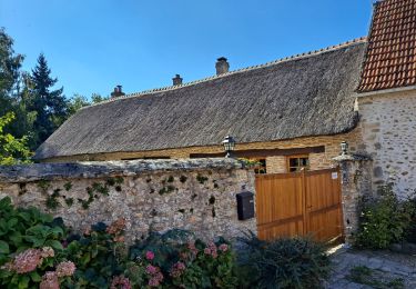
Randonnée Marche de 7,8 km à découvrir à Île-de-France, Yvelines, Maurepas. Cette randonnée est proposée par microb.

Description

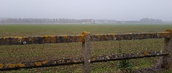
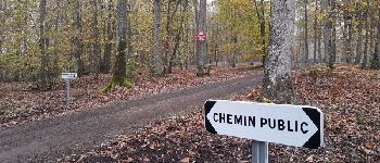
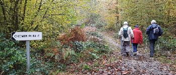
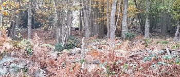
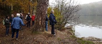
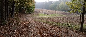
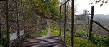
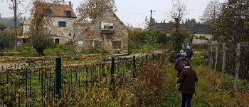
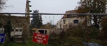
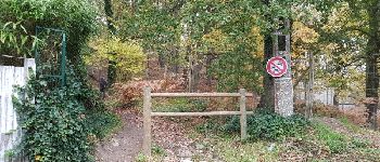
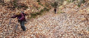
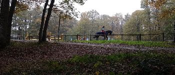
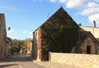
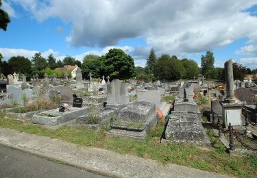
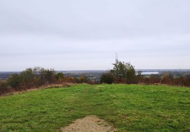
Coignières - Les étangs Dassault - Maurepas

Profil altimétrique

Photos

Points d'intérêt

Point d'intérêt Coignières - Point 2 - Photo
microb
COIGNIÈRES 
Point d'intérêt Coignières - Allée des pommiers - Photo
microb
COIGNIÈRES 
Point d'intérêt Coignières - Point 4 - Photo
microb
COIGNIÈRES 
Point d'intérêt Coignières - Sur le GR 11 - Photo
microb
COIGNIÈRES 
Point d'intérêt Coignières - Point 7 - Photo
microb
COIGNIÈRES 
Point d'intérêt Coignières - Sangliers - Photo
microb
COIGNIÈRES 
Point d'intérêt Saint-Rémy-l'Honoré - Le Grand Etang - Photo
microb
SAINT-RÉMY-L'HONORÉ 
Point d'intérêt Saint-Rémy-l'Honoré - Point 10 - Photo
microb
SAINT-RÉMY-L'HONORÉ 
Point d'intérêt Saint-Rémy-l'Honoré - Point 11 - Photo
microb
SAINT-RÉMY-L'HONORÉ 
Point d'intérêt Saint-Rémy-l'Honoré - Passage canadien - Photo
microb
SAINT-RÉMY-L'HONORÉ 
Point d'intérêt Saint-Rémy-l'Honoré - Moulin de Bicherel - Photo
microb
SAINT-RÉMY-L'HONORÉ 
Point d'intérêt Saint-Rémy-l'Honoré - Moulin de Bicherel - Photo
microb
SAINT-RÉMY-L'HONORÉ 
Point d'intérêt Jouars-Pontchartrain - Chemin de la cabinette - Photo
microb
JOUARS-PONTCHARTRAIN 
Point d'intérêt Jouars-Pontchartrain - Point 16 - Photo
microb
JOUARS-PONTCHARTRAIN 
Point d'intérêt Jouars-Pontchartrain - La cabinette - Photo
microb
JOUARS-PONTCHARTRAIN 
Point d'intérêt Jouars-Pontchartrain - Centre équestre  - Photo
microb
JOUARS-PONTCHARTRAIN 

Localisation

Pays :
France
Région :
Île-de-France
Département/Province :
Yvelines
Commune :
Maurepas
Localité :
Unknown
Départ:(Dec)
Départ:(UTM)
420482 ; 5401230 (31U) N.

Randonnées à proximité

Randonnée Marche Lévis-Saint-Nom - _Le Vallon du Pommeret - Photo
Marche
GUIDE+

Marche

Facile
(11)
Lévis-Saint-Nom, Île-de-France, Yvelines, France
6,3 km | 8 km-effort
1h 30min
Oui
Randonnée Marche Bazoches-sur-Guyonne - _Les chaumières de Bazoches - Photo
Marche
GUIDE+

Marche

Moyen
(2)
Bazoches-sur-Guyonne, Île-de-France, Yvelines, France
8,5 km | 10,5 km-effort
2h 0min
Oui
Randonnée Marche Le Mesnil-Saint-Denis - _Entre ancienne châtellenie et Ville nouvelle - Photo
Marche
GUIDE+

Marche

Facile
(1)
Le Mesnil-Saint-Denis, Île-de-France, Yvelines, France
8,6 km | 9,5 km-effort
2h 30min
Oui
Randonnée Marche Lévis-Saint-Nom - _L'Yvette - Photo
Marche
GUIDE+

Marche

Facile
(4)
Lévis-Saint-Nom, Île-de-France, Yvelines, France
5,2 km | 7 km-effort
1h 29min
Oui
Randonnée Marche Le Tremblay-sur-Mauldre - rando du 12/03/2015 - Photo
Marche
microb

Marche

Facile
(1)
Le Tremblay-sur-Mauldre, Île-de-France, Yvelines, France
7,1 km | 9,3 km-effort
1h 59min
Oui
Randonnée Marche Lévis-Saint-Nom - _Girouard - Photo
Marche
GUIDE+

Marche

Moyen
(1)
Lévis-Saint-Nom, Île-de-France, Yvelines, France
8 km | 10 km-effort
2h 0min
Oui
Randonnée A pied Le Mesnil-Saint-Denis - Liaison douce le Mesnil - Cheuvreuse - Photo
A pied
PRO

A pied

Facile
Le Mesnil-Saint-Denis, Île-de-France, Yvelines, France
9,1 km | 10,4 km-effort
2h 22min
Non
Randonnée V.T.T. Élancourt - VTT elancourt - Photo
V.T.T.
GUIDE
affinetataille

V.T.T.

Facile
Élancourt, Île-de-France, Yvelines, France
26 km | 29 km-effort
2h 1min
Oui
Randonnée Marche Bazoches-sur-Guyonne - Bazoches - Photo
Marche
mallovon

Marche

Moyen
Bazoches-sur-Guyonne, Île-de-France, Yvelines, France
6 km | 7,5 km-effort
2h 26min
Oui


Fermer
Mes abonnements