Randonnée Marche Livinhac-le-Haut - Levinhac le Haut Figeac Avril  2018 - Photo

Levinhac le Haut Figeac Avril 2018

 Kargil
Kargil

Utilisateur GUIDE

© OpenStreetMap contributors
Longueur
Longueur
24 km
Altitude max
Altitude max
417 m
Dénivelé positif
Dénivelé positif
522 m
Km-Effort
Km-Effort  
31 km
Altitude min
Altitude min
191 m
Dénivelé négatif
Dénivelé négatif
538 m
Boucle
Boucle
Non
Date de création :
2018-06-18 20:29:25.172
Dernière modification :
2018-06-18 20:29:25.172

(0 Avis)

Marche
Marche
6h27
Difficulté : Moyen

Scannez ce code QR pour ouvrir la randonnée dans l'application SityTrail

Application GPS de randonnée GRATUITE

Logo SityTrail SityTrail

IGN / Instituts géographiques

Télécharger SityTrail sur l'App Store Télécharger SityTrail sur Google Play

Logo SityTrail SityTrail World

Le monde est à vous

Télécharger SityTrail sur l'App Store Télécharger SityTrail sur Google Play Télécharger SityTrail sur Huawei AppGallery

À propos

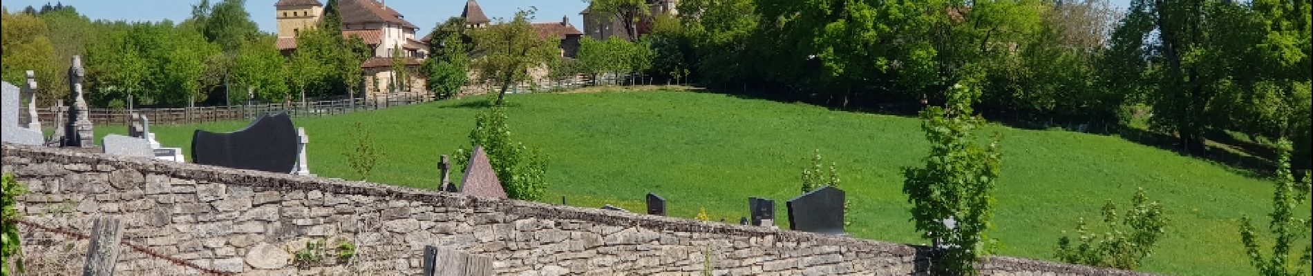
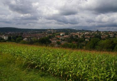
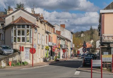
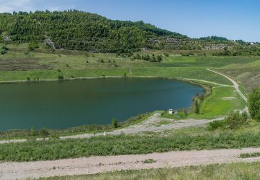
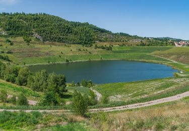
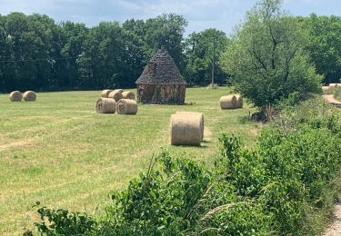
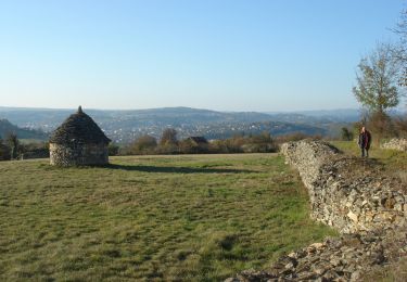
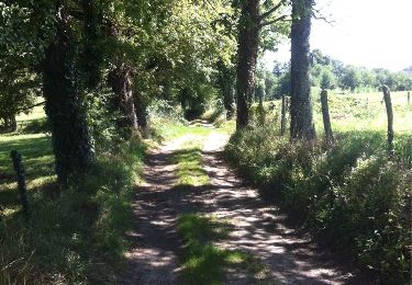
Randonnée Marche de 24 km à découvrir à Occitanie, Aveyron, Livinhac-le-Haut. Cette randonnée est proposée par Kargil.

Description

11ème Etape depuis Le Puy

Profil altimétrique

Photos

Localisation

Pays :
France
Région :
Occitanie
Département/Province :
Aveyron
Commune :
Livinhac-le-Haut
Localité :
Unknown
Départ:(Dec)
Départ:(UTM)
438995 ; 4937855 (31T) N.

Randonnées à proximité

Randonnée Autre activité Decazeville - compostelle 2017 mt - Photo
Autre activité
MAITHE

Autre activité

Très facile
(5)
Decazeville, Occitanie, Aveyron, France
214 km | 295 km-effort
1666h 40min
Non
Randonnée Marche Livinhac-le-Haut - Livinhac le Haut - Figeac - Chemin de St-Jacques de Compostelle - Photo
Marche
tracegps

Marche

Très difficile
(4)
Livinhac-le-Haut, Occitanie, Aveyron, France
26 km | 33 km-effort
5h 0min
Non
Randonnée A pied Decazeville - Les découvertes - Photo
A pied
PRO

A pied

Facile
Decazeville, Occitanie, Aveyron, France
12,3 km | 18,3 km-effort
4h 9min
Non
Randonnée A pied Decazeville - Entre plateau et découverte - Photo
A pied
PRO

A pied

Facile
Decazeville, Occitanie, Aveyron, France
11,6 km | 17,1 km-effort
3h 53min
Oui
Randonnée A pied Decazeville - Le panoramique - Photo
A pied
PRO

A pied

Facile
Decazeville, Occitanie, Aveyron, France
4,3 km | 6,8 km-effort
1h 32min
Oui
Randonnée Marche Livinhac-le-Haut - Compostelle 12 - Livinhac-le-haut -> Figeac - Photo
Marche
uru2010

Marche

Moyen
(1)
Livinhac-le-Haut, Occitanie, Aveyron, France
26 km | 33 km-effort
7h 4min
Non
Randonnée Marche Decazeville - Étape 12 Decazeville a Figeac - Photo
Marche
lesduj

Marche

Moyen
Decazeville, Occitanie, Aveyron, France
29 km | 38 km-effort
6h 27min
Non
Randonnée Marche Livinhac-le-Haut - CC_Velay_CB_11_Livinhac-Haut_Figeac_20071102 - Photo
Marche
patrickdanilo

Marche

Moyen
Livinhac-le-Haut, Occitanie, Aveyron, France
26 km | 34 km-effort
6h 40min
Non
Randonnée Marche Livinhac-le-Haut - Livinhac le Haut vers Figeac - Photo
Marche
choubaka77

Marche

Moyen
Livinhac-le-Haut, Occitanie, Aveyron, France
25 km | 32 km-effort
6h 1min
Non


Fermer
Mes abonnements