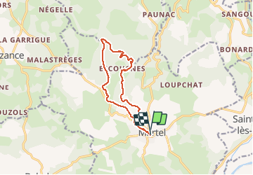

22 km | 28 km-effort

Utilisateur


Application GPS de randonnée GRATUITE
 SityTrail
IGN / Instituts géographiques
SityTrail World
Le monde est à vous
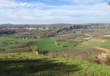
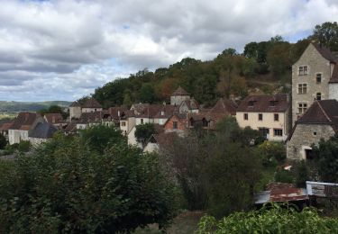
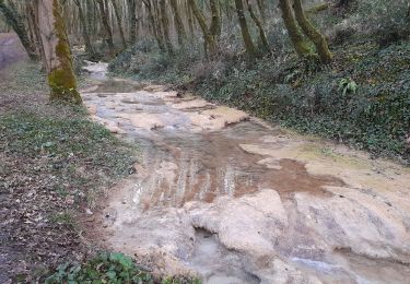
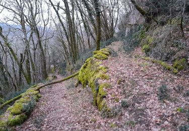
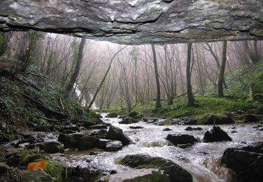
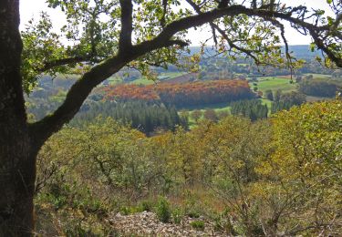
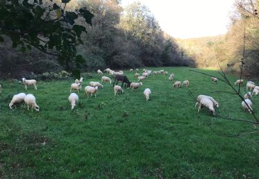
Randonnée Marche de 11,7 km à découvrir à Occitanie, Lot, Martel. Cette randonnée est proposée par fab0202.
boisé avec eglise romane et moulin de murel


Marche
Marche

Marche
V.T.T.

Moto
Marche
Marche