


27 km | 40 km-effort


Utilisateur


Application GPS de randonnée GRATUITE
 SityTrail
IGN / Instituts géographiques
SityTrail World
Le monde est à vous
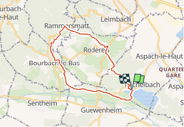
Randonnée Marche de 13,6 km à découvrir à Grand Est, Haut-Rhin, Aspach-Michelbach. Cette randonnée est proposée par E.BURCK.
ACCÈS :
Par Aspach le Haut puis Michelbach.
PARKING:
Parking du cimetière au niveau du 12 rue principale Michelbach.
47.760872 7.113891
N 47°45'39" E 07°06'50"
RESTAURATION :
Restaurant aux 3 sapins à Rammersmatt.
Tél. 03 89 37 20 39

Marche

A pied

Marche
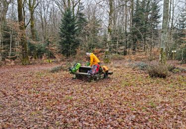
Marche


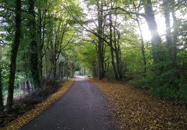
Marche
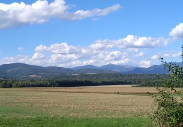
Marche