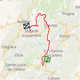


5,2 km | 9,3 km-effort

Utilisateur


Application GPS de randonnée GRATUITE
 SityTrail
IGN / Instituts géographiques
SityTrail World
Le monde est à vous
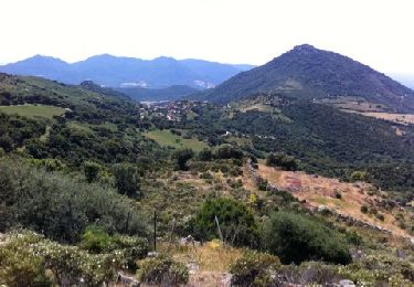
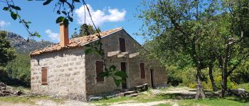
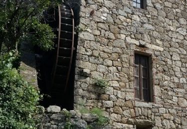
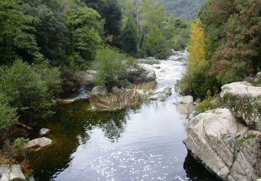
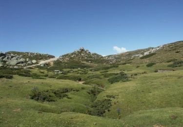
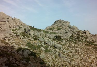
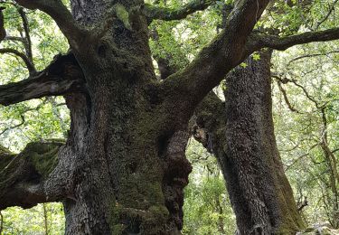
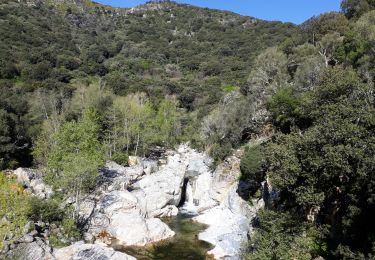
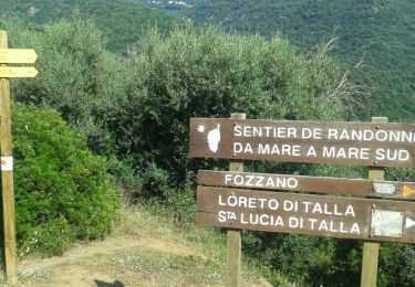
Randonnée Marche de 23 km à découvrir à Corse, Corse-du-Sud, Levie. Cette randonnée est proposée par patjobou.
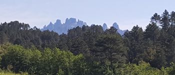
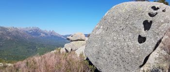
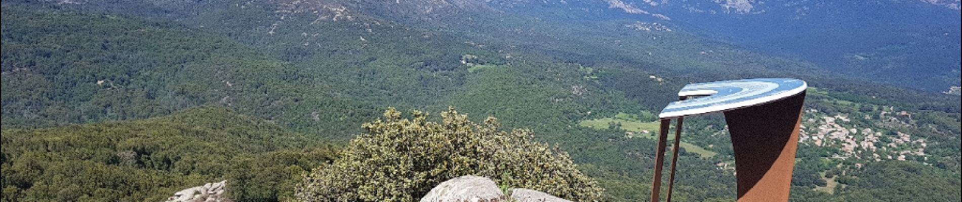
Très belle étape avec des paysages variés. La variante par la 'Punta di a Cuciurpula' vaut le coup: Très belle vue à 360° plus une table d'orientation, et elle n'est pas très longue.


Marche
Marche
Marche
A pied
Marche

Marche
Marche
Marche