


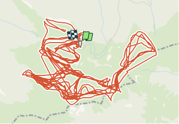

11,7 km | 24 km-effort


Utilisateur


Application GPS de randonnée GRATUITE
 SityTrail
IGN / Instituts géographiques
SityTrail World
Le monde est à vous
Randonnée Sports d'hiver de 46 km à découvrir à Occitanie, Hautes-Pyrénées, Sarrancolin. Cette randonnée est proposée par ehresmann.
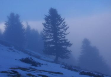
ski de fond sur terrain gelé
Marche
Marche
Marche
Marche
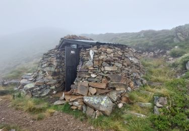
Marche
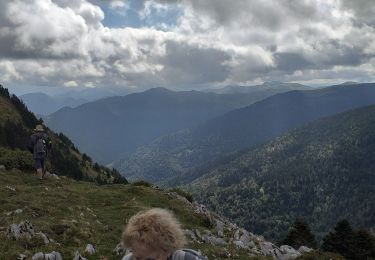
Marche

Marche
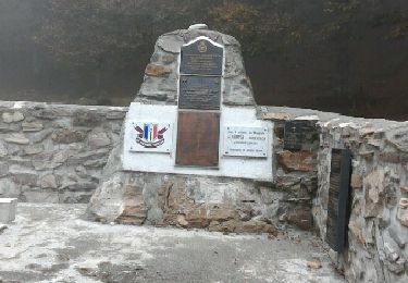
Marche

Raquettes à neige
trop ,de traces , gps perdu trop souvent