


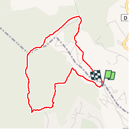


4,7 km | 6,5 km-effort

Benutzer


Kostenlosegpshiking-Anwendung
 SityTrail
IGN / Geografische Institute
SityTrail World
Die Welt öffnet sich für Sie
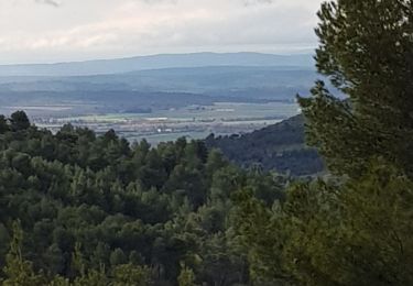
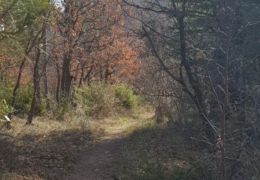
Tour Wandern von 4,5 km verfügbar auf Provence-Alpes-Côte d'Azur, Alpes-de-Haute-Provence, Pierrevert. Diese Tour wird von liocol vorgeschlagen.
Garez-vous le long du Bd St Georges, attention pas sur l'arrêt de bus. Petite boucle de moins de 5 Kms, sans problème.


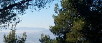
Wandern

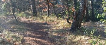
Wandern
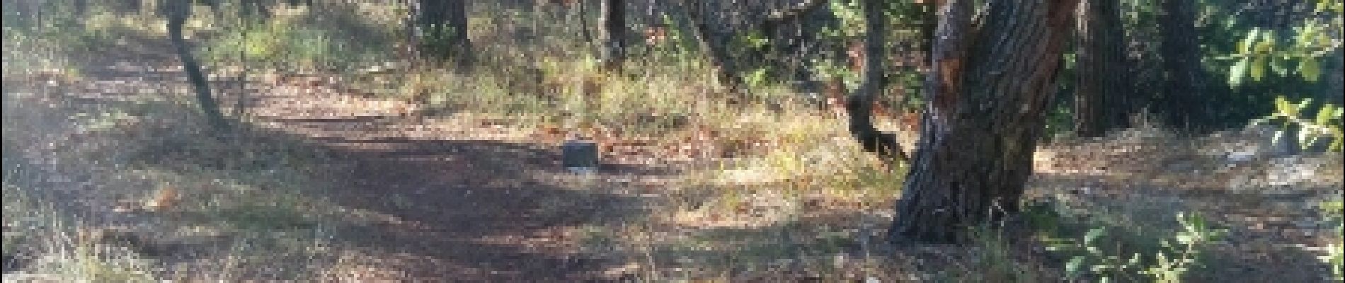
Wandern
Wandern
Wandern
Wandern
Wandern
Wandern
Wandern