


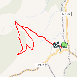


4,7 km | 6,5 km-effort

Benutzer


Kostenlosegpshiking-Anwendung
 SityTrail
IGN / Geografische Institute
SityTrail World
Die Welt öffnet sich für Sie
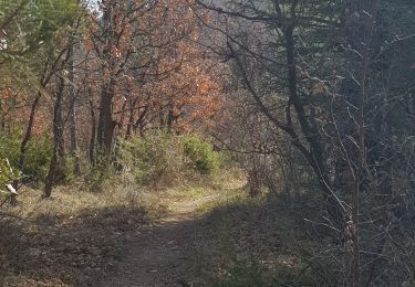
Tour Wandern von 4,8 km verfügbar auf Provence-Alpes-Côte d'Azur, Alpes-de-Haute-Provence, Villemus. Diese Tour wird von liocol vorgeschlagen.
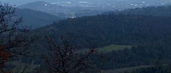
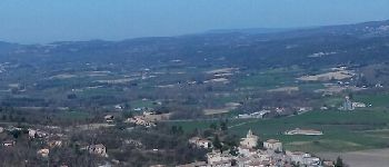
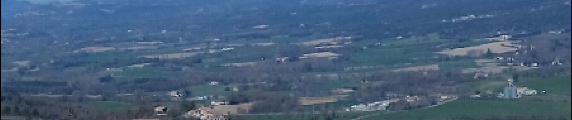
Attention, nous marchons le long d'une route peu passante, mais restez bien à droite. Une boucle avec de belles vues sur Villemus, Lincel et Saint Michel l'observatoire.


Wandern

Wandern
Wandern
Wandern
Wandern
Wandern
Wandern
Wandern
Wandern