


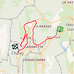


12,5 km | 15,2 km-effort

Benutzer


Kostenlosegpshiking-Anwendung
 SityTrail
IGN / Geografische Institute
SityTrail World
Die Welt öffnet sich für Sie
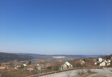
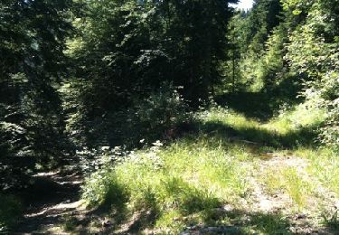
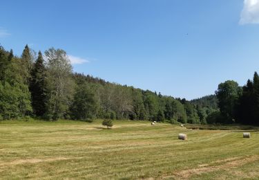
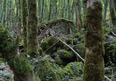
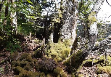
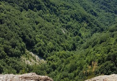
Tour Wandern von 13,1 km verfügbar auf Auvergne-Rhone-Alpen, Ain, Plateau d'Hauteville. Diese Tour wird von Arthurjcm vorgeschlagen.


Mountainbike

Wandern
Nordic Walking
Nordic Walking
Wandern
Wandern
Wandern
Wandern
Wandern