


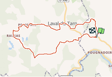

15.8 km | 25 km-effort


User


FREE GPS app for hiking
 SityTrail
IGN / Geographical institutes
SityTrail World
The world is yours!
Trail Walking of 11.5 km to be discovered at Occitania, Lozère, Gorges du Tarn Causses. This trail is proposed by zoe.vienne.
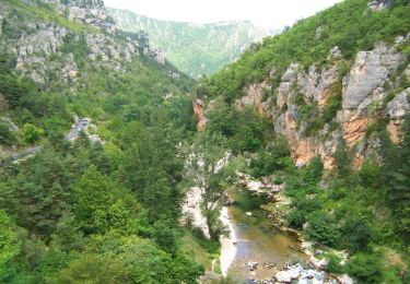
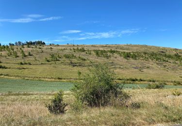
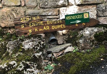
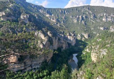
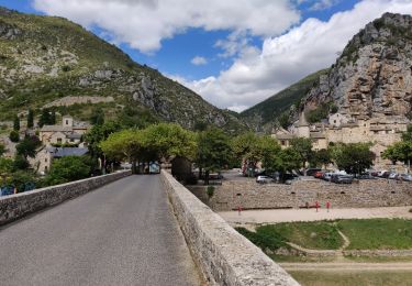
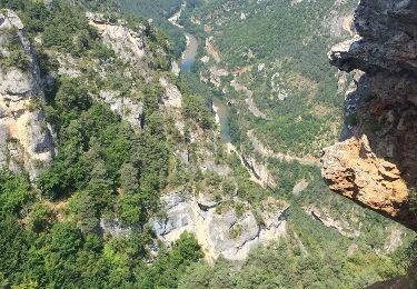
Randonnée faite le 9 août 2018, pas de difficulté particulière. Faire juste attention au départ de ne pas louper le petit chemin balisé bleu qui prend à angle droit sur la gauche de la route (sens Canourgue). Beaux paysages sur le Causse Sauveterre.
 - Photo 1")
Walking
Walking
Walking

Walking
Walking
Walking
Walking

Walking
Walking